
Stay ahead of risk with high precision geospatial intelligence in 3D
We identify areas at risk from debris flows, overflows and floods with centimeter accurate airborne LiDAR, before an emergency happens.
The context
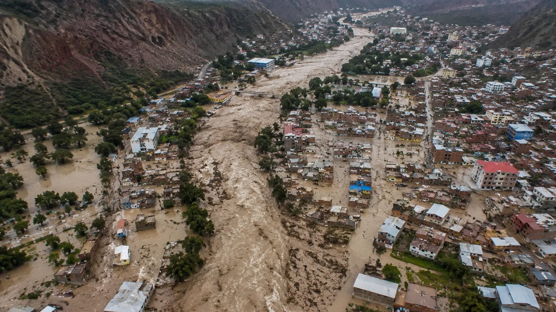
Heavy rainfall and extreme weather events can activate gullies, producing debris flows (huaicos), erosion and damage to critical infrastructure, mining operations, roads, transmission lines and towns.
At Global Mapping S.A.C. we use Airborne LiDAR technology to capture the terrain as it really is with centimeter accuracy, producing reliable information that identifies areas at risk before an emergency happens.
What we offer
LiDAR surveys for risk prevention
We carry out 3D geospatial surveys with pulsed laser airborne LiDAR sensors that penetrate vegetation cover to obtain an accurate representation of the ground surface and reveal the true geometry of gully channels.
Our products make it possible to analyze how the terrain behaves, identify natural channels, evaluate slopes and model potential water flow under different scenarios, providing strategic information for studies aimed at the prevention and management of risk from gully activation, overflows and floods.
Applications
Strategic information to decide before, not after
- Assessment of active and inactive gullies
- Hydrological and hydraulic studies
- Design of protection works
- Assessment of critical infrastructure
- Studies for mining and infrastructure
- Identification of areas prone to debris flows
- Disaster Risk Management (GRD)
- Land use planning
- Monitoring of watersheds and micro watersheds
- Ground stability analysis
Deliverables
What the client receives
Engineering ready products, compatible with the CAD and GIS platforms your team already uses, with QA/QC on every delivery.
- Classified LiDAR point cloud
- Digital Terrain Model (DTM)
- Digital Surface Model (DSM)
- High resolution orthophotography
- High precision digital mapping
- Contour lines
- Vector models
- Slope maps
- Automatic channel delineation
- Hydrological models
- Surface runoff analysis
- Gully inventory
- Identification of critical areas
Benefits
Greater accuracy
Topographic information with engineering grade accuracy.
Efficient coverage
Large areas surveyed in less time.
Penetrates vegetation
The real ground surface, even in areas with vegetation cover.
Better decisions
Reliable information for infrastructure design and mitigation plans.
Risk reduction
Identify hazards before they cause financial losses or affect safety.
Cost optimization
Less field time and better project planning.
Sectors we serve
Our approach combines
Airborne LiDAR · Photogrammetry · Digital Mapping · Geomatics · High Precision Surveying · Digital Terrain Modeling · Quality Control (QA/QC)
Disaster Risk Prevention datasheet
Download the datasheet for the full service detail: scope, applications, deliverables and the benefits of 3D geospatial intelligence applied to risk management. The datasheet is available in Spanish only.