

Services
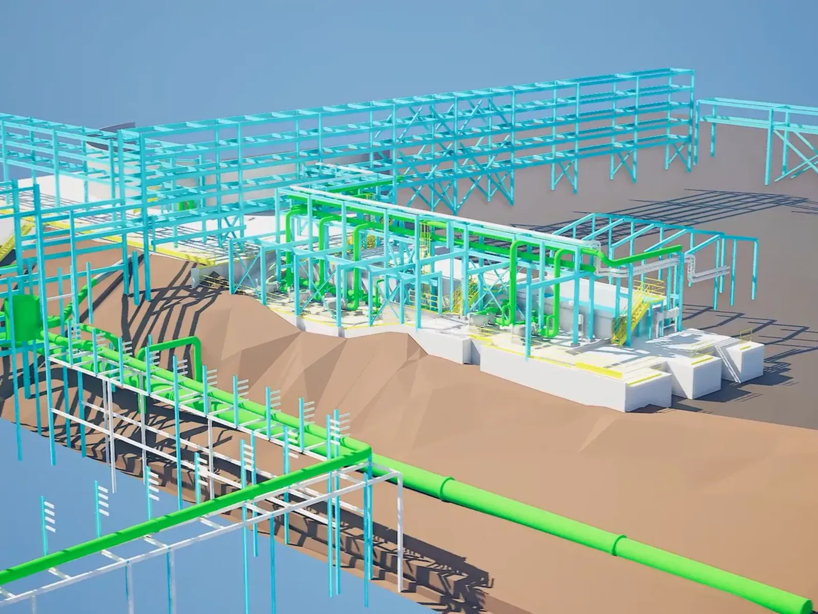
Accurate data, engineering-ready deliverables and optimized schedules.
Why Global Mapping?
State-of-the-art technology, proven accuracy and multisector experience.

Multisector Experience
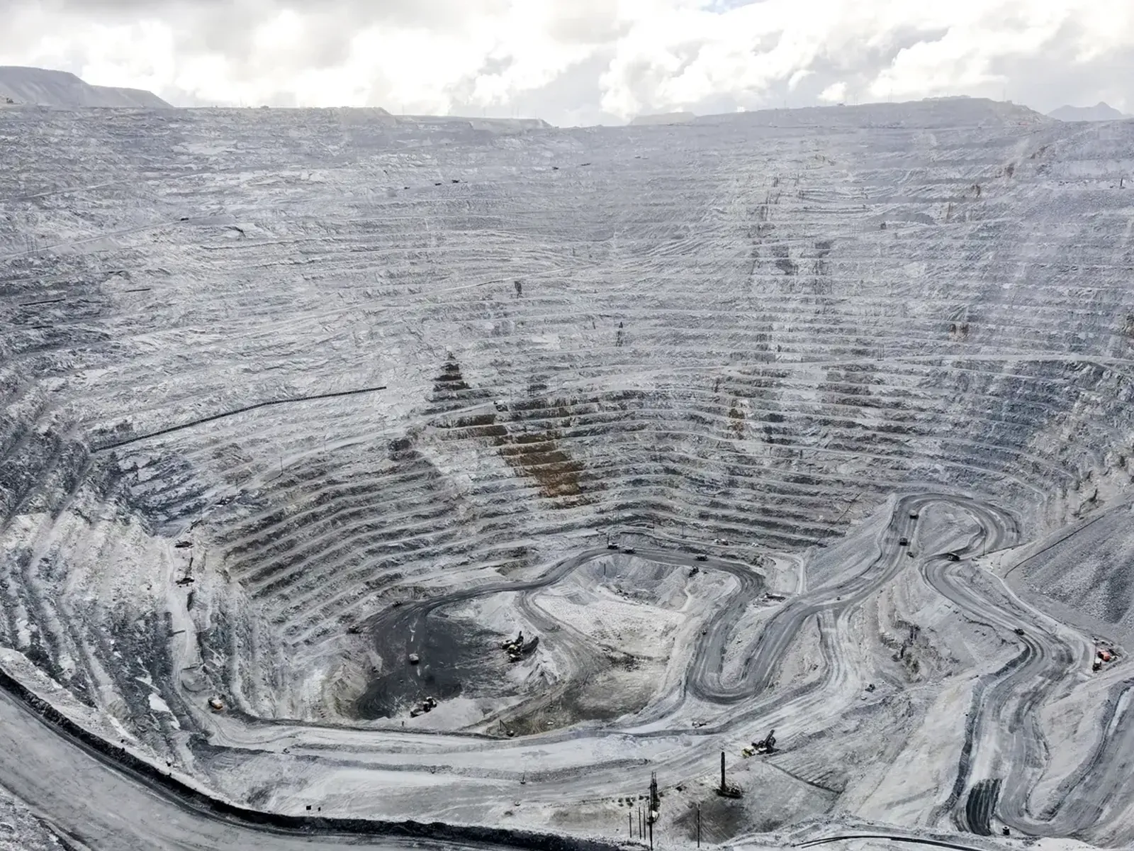
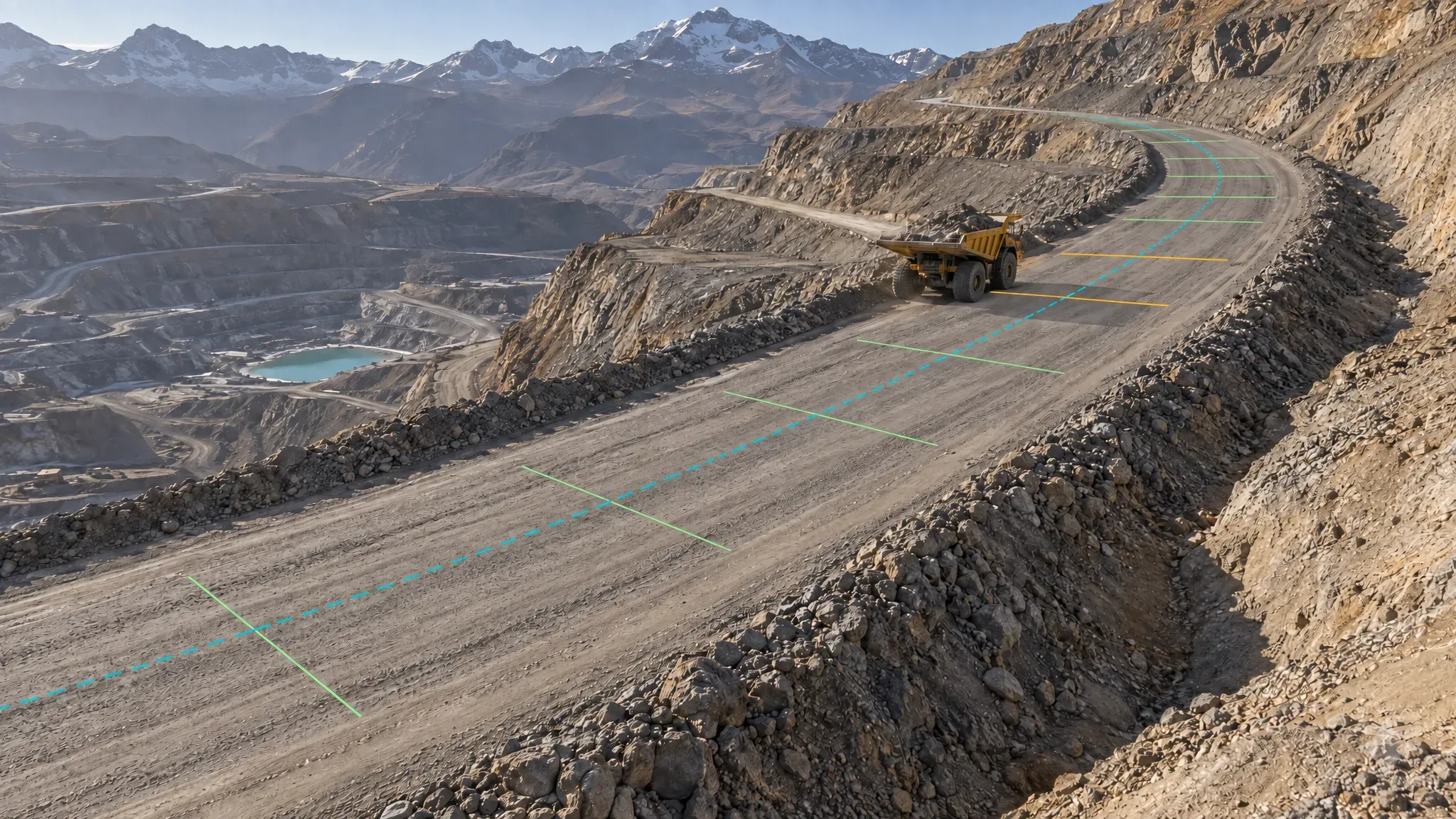
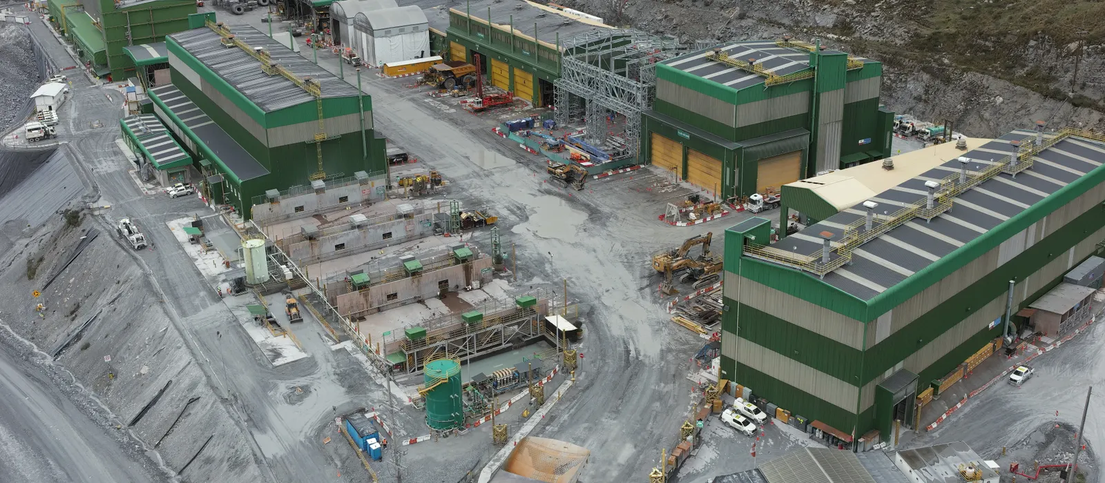
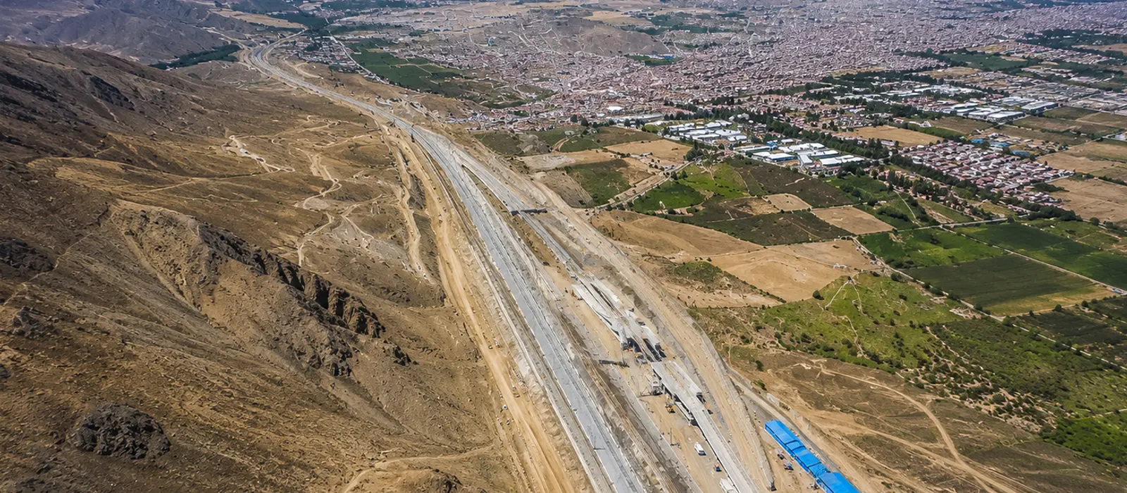
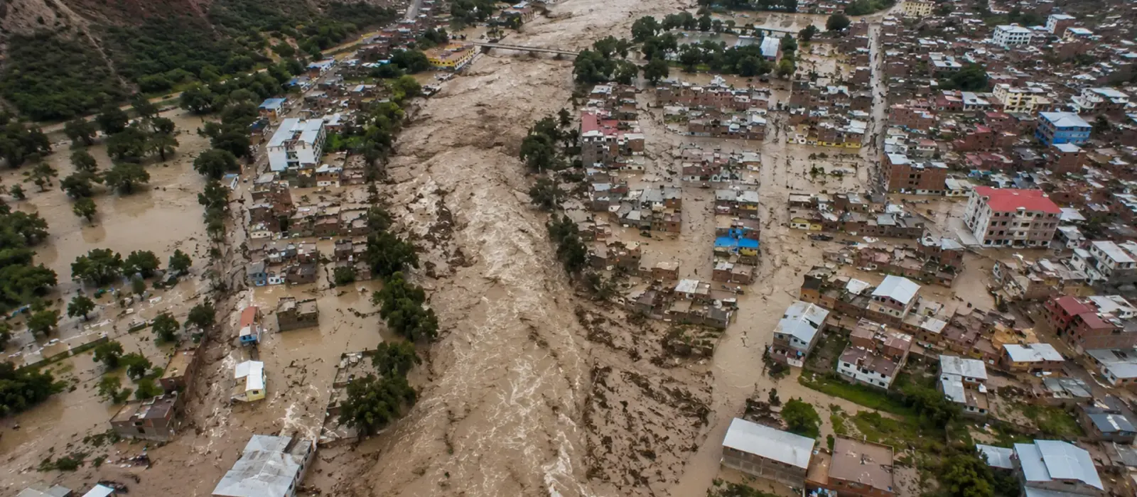
Mining, energy, infrastructure, cadastre and GIS
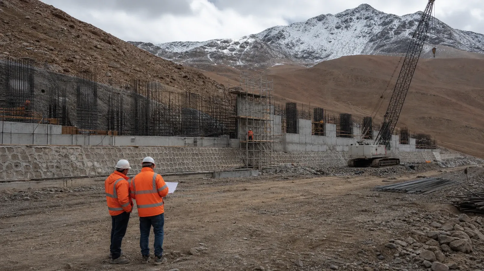
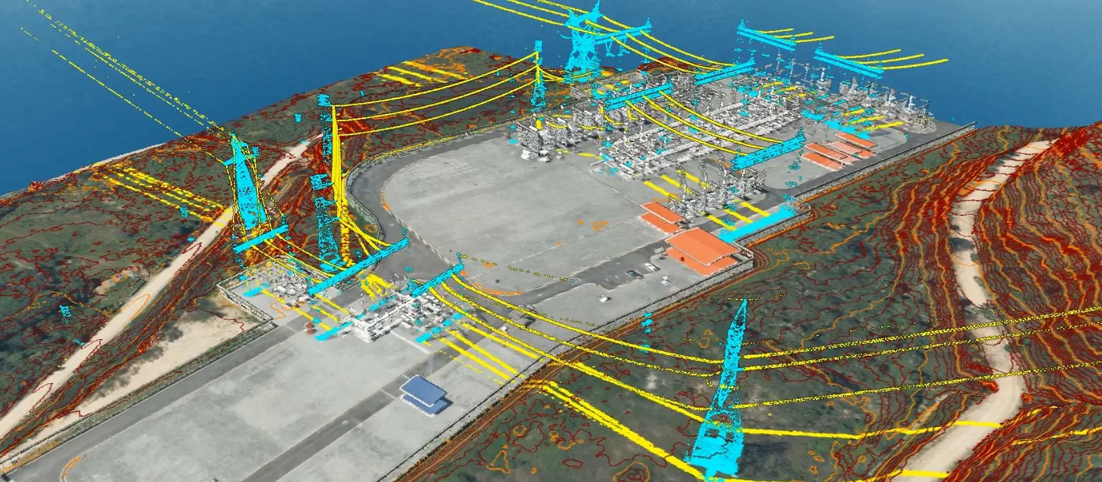
More than 26 years supporting landmark MEGAPROJECTS in Peru and Latin America. Transmission lines, road infrastructure, railways and agriculture. More than 200 satisfied clients and more than 1,200 projects back our work.

Proven Accuracy
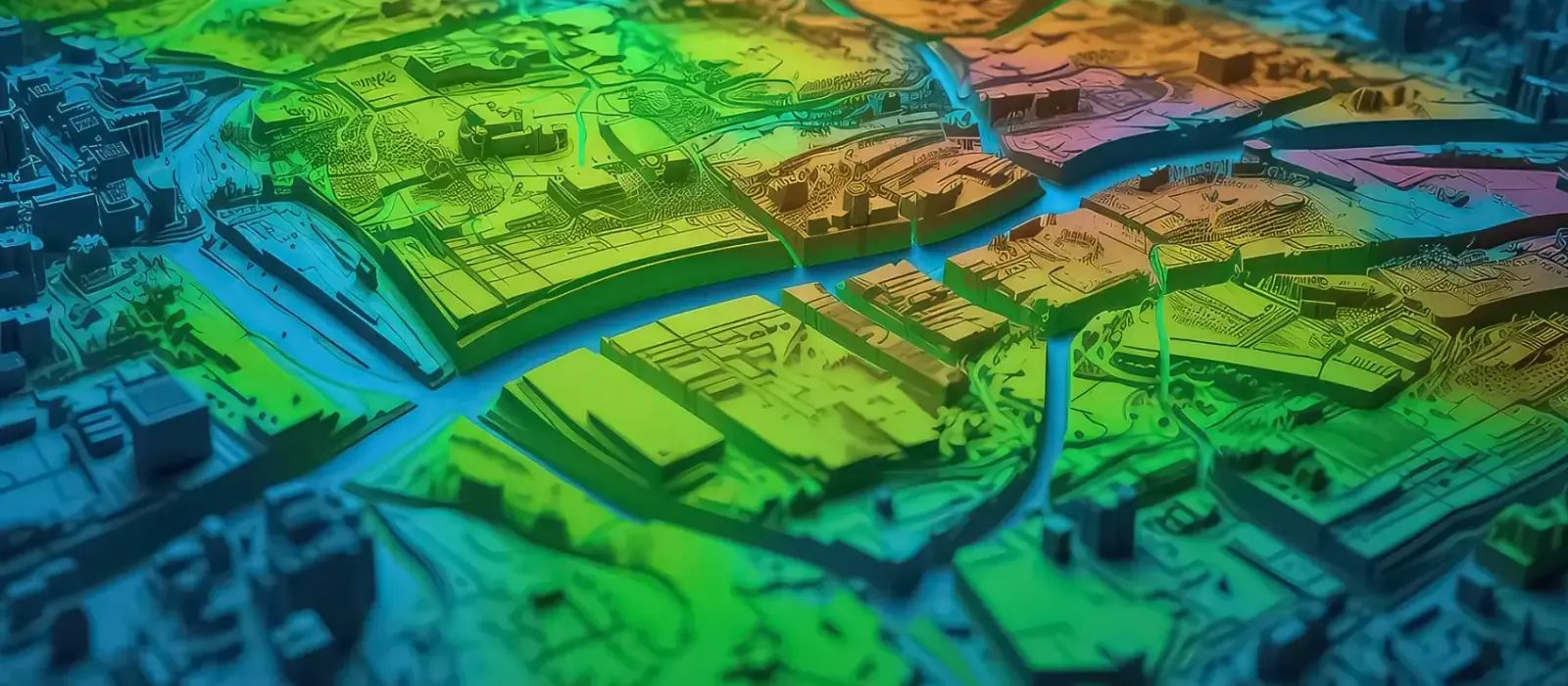
Density of 1–100 pts/m²; accuracy ~5 cm
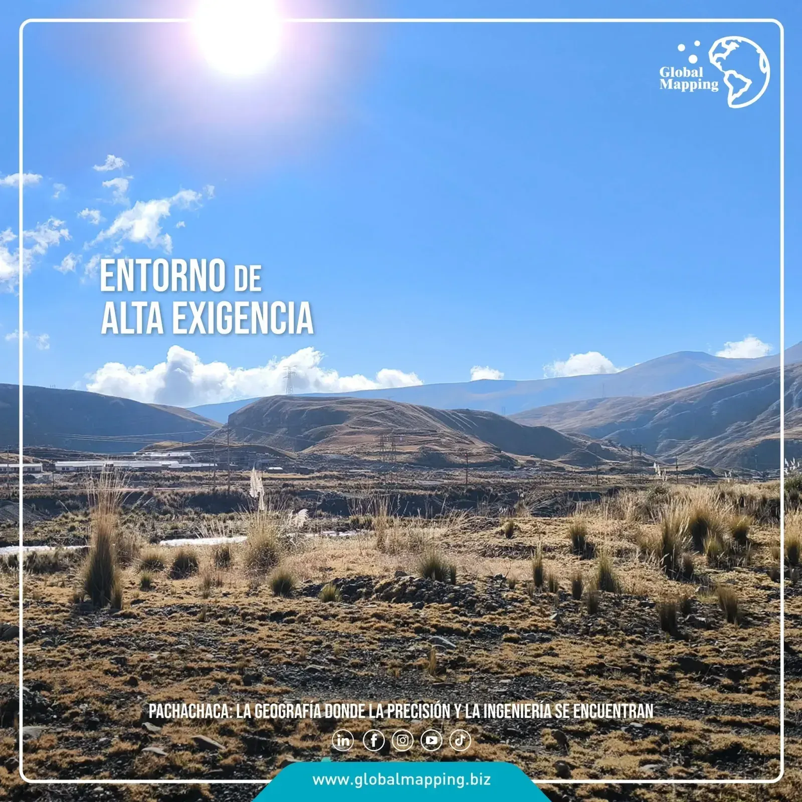
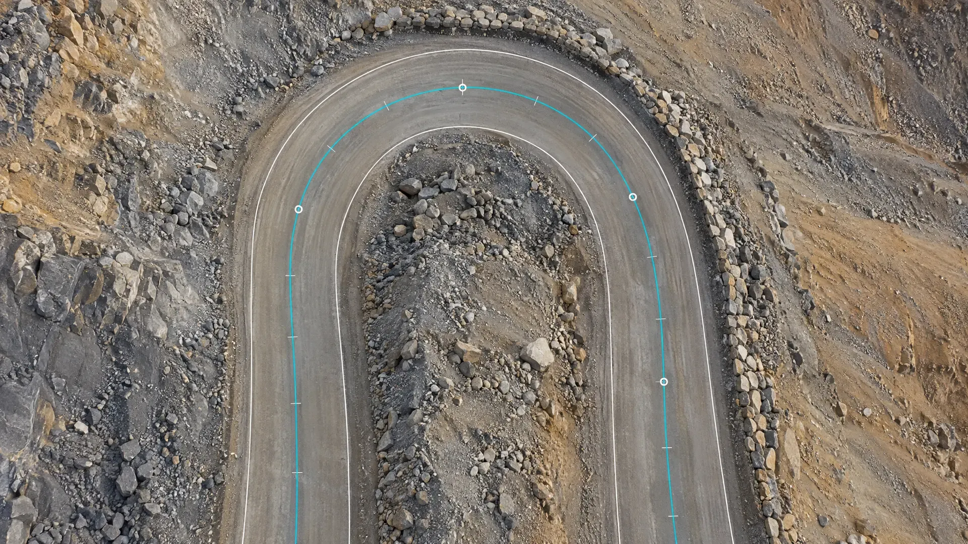
Vertical and horizontal accuracy on complex terrain. Rigorous QA/QC, complete reports, metadata and traceability that guarantee reliable information for critical decisions.

CERTIFIED MANAGEMENT
ISO 9001:2015 for Geomatics Services: Surveying and LiDAR (Light Detection and Ranging)
We run non-invasive operations and keep a culture of prevention and legal and environmental compliance.

State-of-the-Art Technology
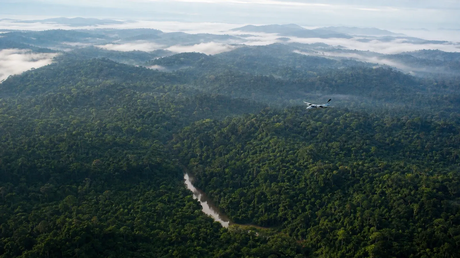
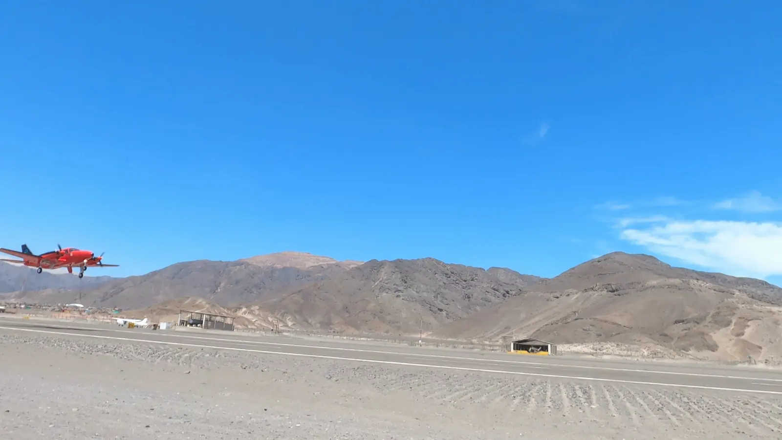
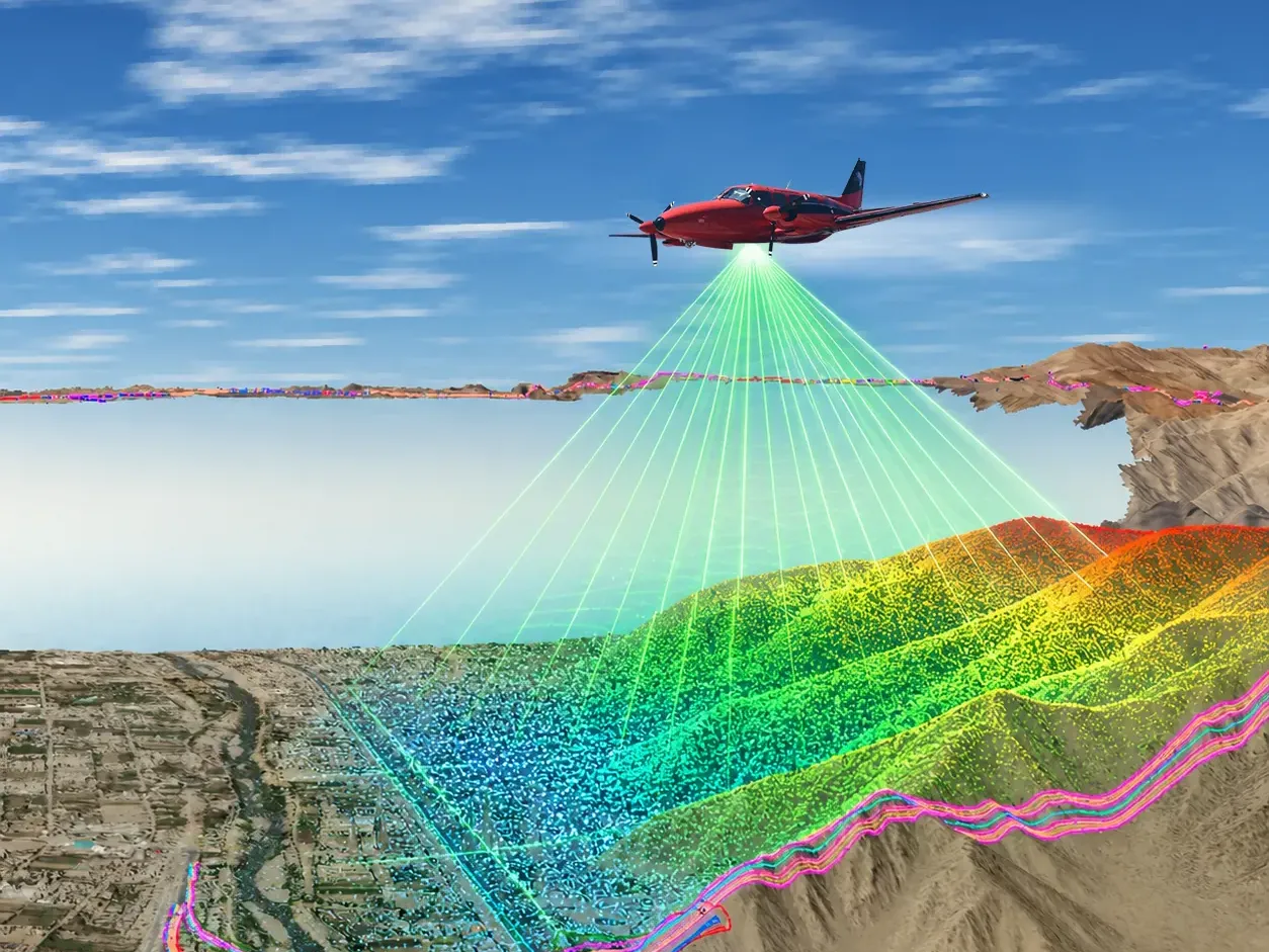
Airborne LiDAR sensors and RGB/NIR cameras up to 150MP
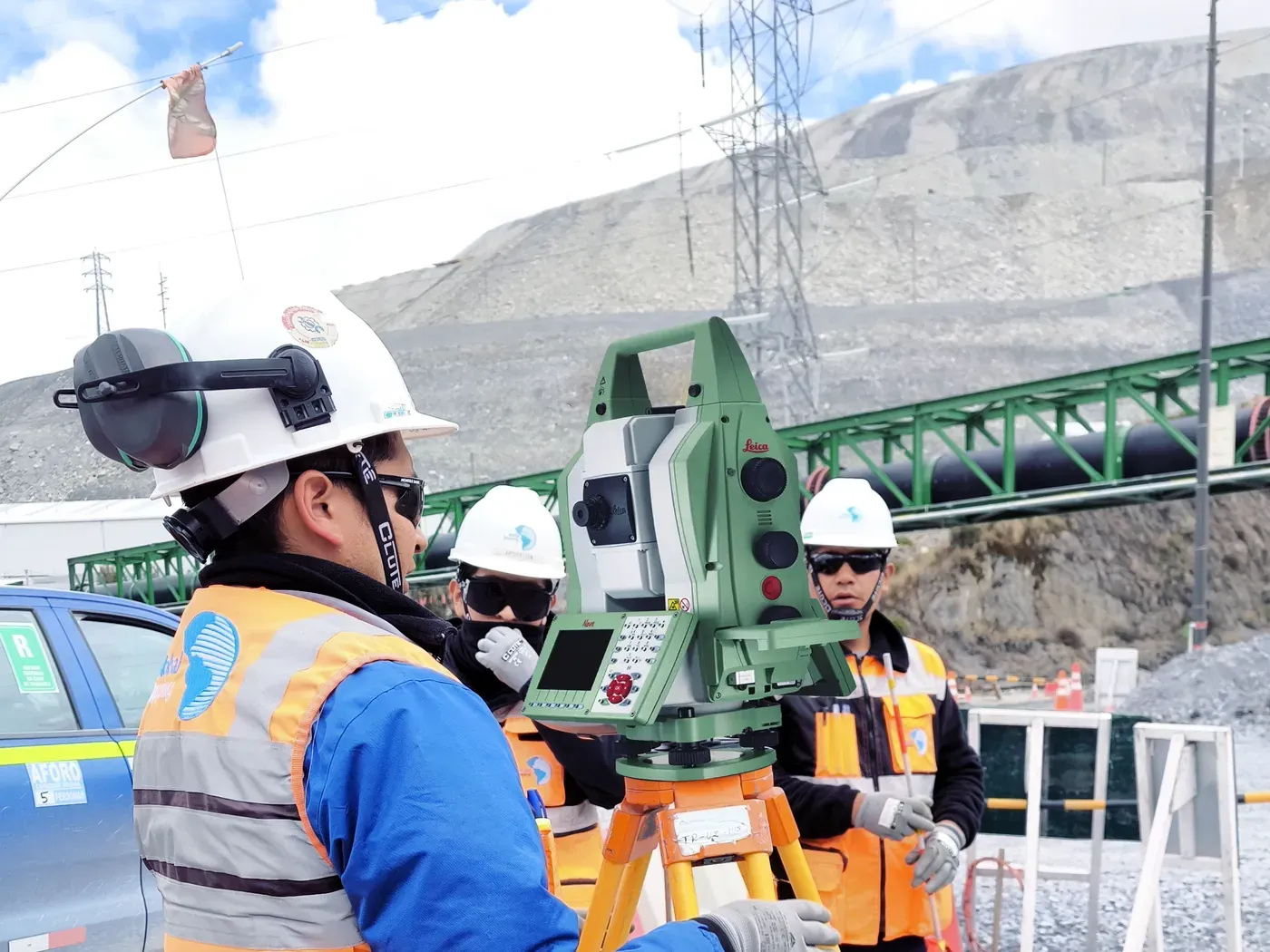
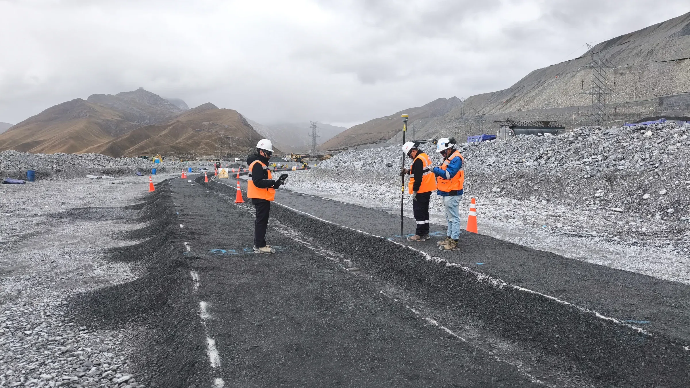
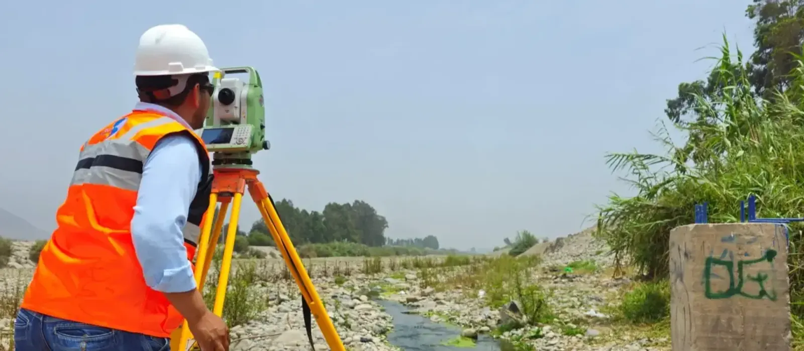
RPAS drones, total stations and terrestrial scanners. LEICA airborne LiDAR scanner, gyro-stabilized platform with a frequency >2,000 kHz.
Trusted by
Over 200 leading companies in mining, energy and infrastructure

Our track record
The numbers behind our Experience
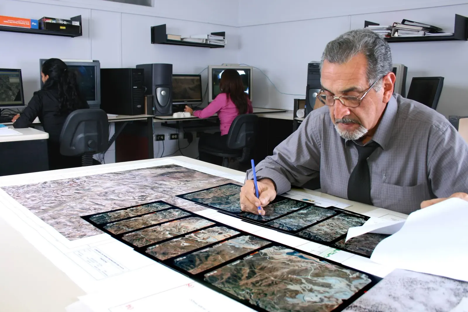
LiDAR, Surveying, Photogrammetry and Geomatics in Peru and Latin America