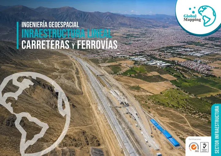
Infrastructure and Transport Sector
Surveying and construction control for roads, railways and tunnels
We survey road and rail corridors for the detailed design study, set out the works during construction and finish with the As-Built of the road or railway, its bridges and its tunnels.
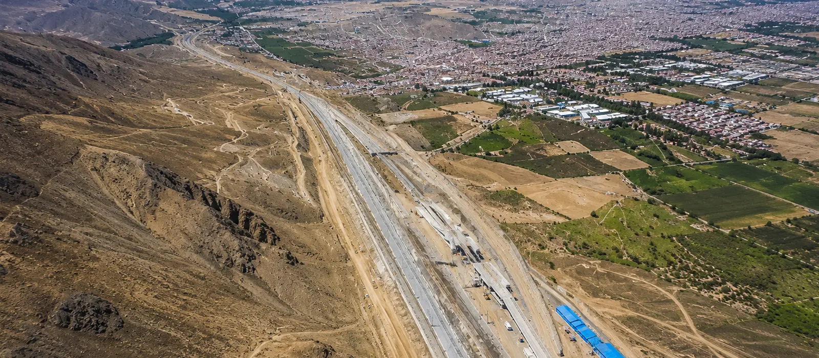
A road is designed on a survey, built from the setting out and paid for on measured quantities. If the three do not start from the same geodetic control, the difference shows up in the progress payment. We work at all three stages for road and rail concessionaires, contractors, engineering consultancies and infrastructure operators.
For the design study we fly the corridor with airborne LiDAR, at ±5 cm absolute accuracy. To set out and control the works we use total stations and GNSS. Under a bridge or inside a tunnel, where airborne LiDAR cannot reach, we scan from the ground.
Experience and results
- 5M+
- hectares surveyed
- 1200+
- projects delivered
- 200+
- clients
Where we work in infrastructure and transport
Road corridors and national highways
LiDAR corridor surveys, terrain models and mapping for design and construction.
Expressways and regional roads
Geodetic control, setting out and geometric verification during construction.
Railways and stations
Mobile scanning of track, clearance envelopes, platforms and structures, with As-Built models.
Tunnels
3D laser scanning of the cross section, overbreak control and dimensional verification.
Bridges and viaducts
3D modeling, As-Built control and deformation monitoring of the structure.
Interchanges
Digital terrain models and earthwork volume calculations.
Logistics terminals and port infrastructure
Surveys of yards, warehouses and access roads, with a geospatial asset inventory.
Four business lines, from planning to monitoring
Plan, design, build, operate and monitor. The same four lines in every sector, with the activities and deliverables that sector needs.
Levantamiento, Cartografía y Modelado
Survey, Mapping & Modeling
“We survey the corridor kilometer by kilometer, for the study and the design”
- Airborne, terrestrial, mobile and drone LiDAR
- Surveying, geodesy, GNSS control networks and precise leveling
- Digital photogrammetry, orthophotos and DTM/DSM models
- Mobile mapping
- Hydrographic and bathymetric surveys
- Digital mapping and corridor models
- 3D modeling and As-Built BIM
- Road and rail infrastructure inventory
- Cadastre and land management
Deliverables
Classified point cloud · DTM/DSM · High-resolution orthophoto · Topographic plans and maps · 3D models · As-Built BIM · Digital road inventory
Control y Aseguramiento de Calidad
Quality Control & Assurance
“We set out alignments and grades, and check every section once it is built”
- Geodetic control and setting out of civil works and linear infrastructure
- Geometric verification and dimensional control of roads, railways, bridges, tunnels and structures with surveying, LiDAR and 3D laser scanning
- Independent audits of topographic, LiDAR and photogrammetric surveys
- QA/QC and accuracy checks to ISO 19157, ASPRS standards and project specifications
- Integration and validation of BIM models, GIS data and point clouds for construction control
- Validation and delivery of the project’s geospatial data
Deliverables
Geodetic control report · Geometric verification record · As-Built report · QA/QC report (ISO 19157 / ASPRS) · Setting-out drawings · Independent audit report
Monitoreo del Terreno y Gestión de Riesgos Geotécnicos
Ground & Geotechnical Monitoring
“Once the route is open to traffic, we instrument slopes, embankments and bridges”
- Geotechnical instrumentation of slopes, embankments, dams and excavations
- Geodetic and topographic monitoring of deformation, settlement and displacement
- Multitemporal monitoring with LiDAR, drones, GNSS and InSAR for early change detection
- Tracking of mass movements, erosion and ground instability
- Geotechnical risk management with instrumentation and GIS combined
Deliverables
Periodic deformation reports · Multitemporal change maps · Geotechnical performance reports · Threshold-based technical alerts · Risk management report
Soluciones Digitales e Inteligencia Artificial
Digital Solutions & Artificial Intelligence
“Concessionaire, supervisor and contractor all work from the same corridor model”
- Digital twin of the corridor, updated with periodic monitoring campaigns
- BIM + GIS integration for the project
- Analysis of alignment alternatives with artificial intelligence
- Dashboards to query the project’s geospatial data
- 3D virtual tours of the corridor
- Simulation and predictive analysis with artificial intelligence
Deliverables
Digital twin of the corridor or asset · Integrated BIM + GIS platform · Geospatial dashboard · Predictive models and automated reports · 3D virtual tours
Who we work for
- Investors
- Road and rail concessionaires
- Project managers
- Civil engineers
- Railway engineers
- Geotechnical engineers
- Transport engineers
- Construction supervisors
- BIM-GIS specialists
- Engineering consultancies
- Construction companies
- Infrastructure operators
- Operations and maintenance teams
Brochure
Download the sector brochure
Leave us your details and download the sector brochure, with our lines of work, activities and deliverables.