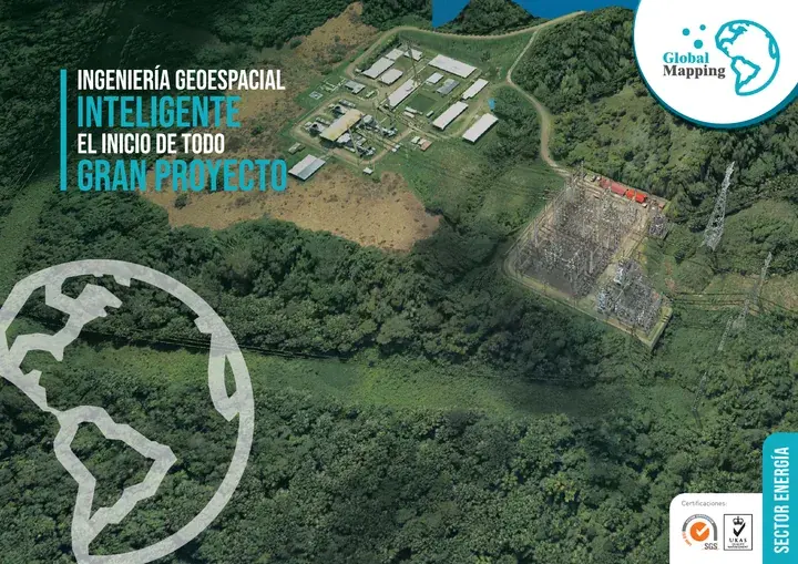
Energy and Telecommunications Sector
From the line’s LiDAR profile to the substation As-Built
We fly transmission corridors and survey hydroelectric plants, solar and wind farms, substations and networks. We have flown our own airborne LiDAR since 2014 and have been a certified air operator with DGAC, Peru’s civil aviation authority, since 2013.
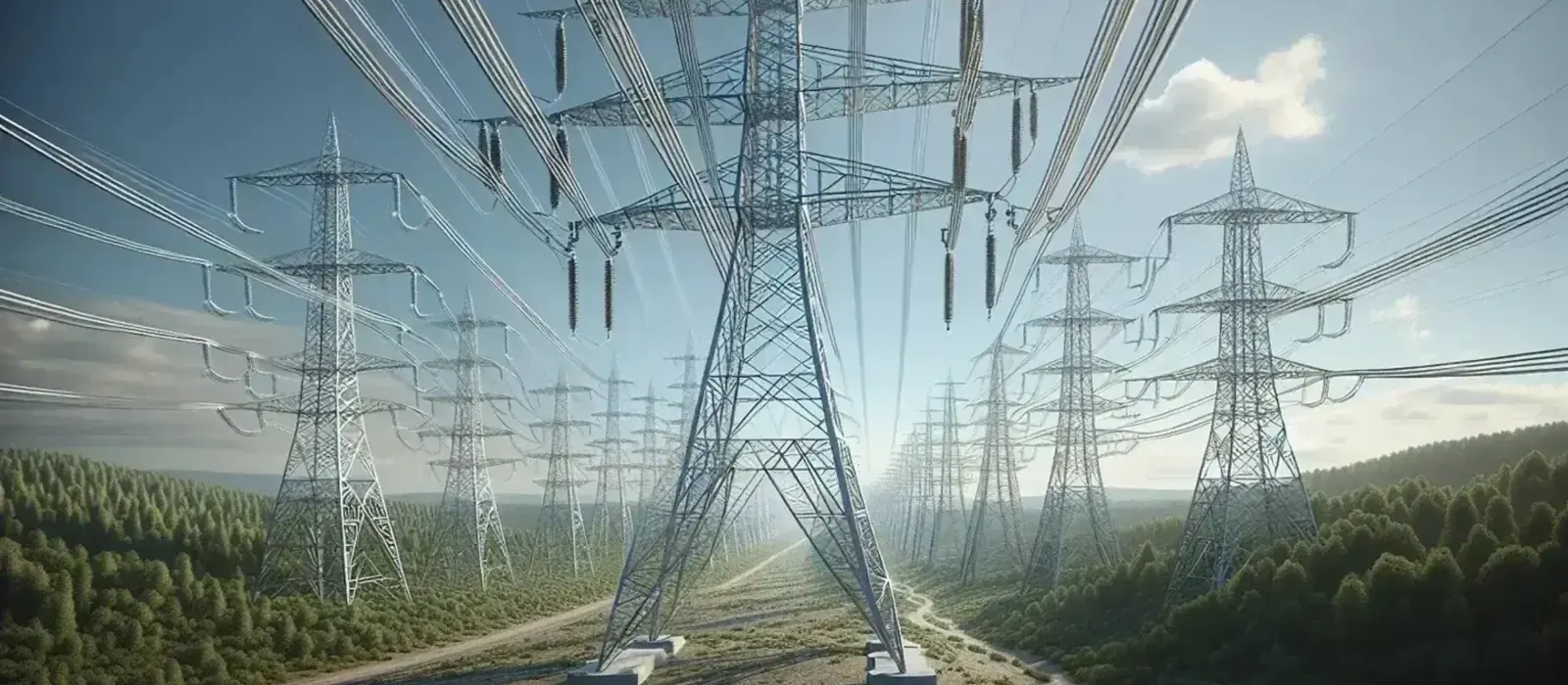
A transmission line crosses ravines, hillsides, farmland and parcels held by many owners. We survey that corridor with LiDAR and deliver the alignment profile and the right-of-way cadastre. At a power plant or a solar or wind farm the work starts the same way: with the terrain model that platforms, access roads and civil works are designed on.
Once the line or plant is in service, what needs measuring changes: vegetation growing into the right-of-way, slopes moving at the foot of a tower, reservoirs filling with sediment. We measure those changes campaign by campaign and tell your maintenance team where each one is and how far it has progressed.
Experience and results
- 5M+
- hectares surveyed
- 1200+
- projects delivered
- 200+
- clients
Where we work in energy and telecommunications
Hydroelectric plants
Dams, penstocks, powerhouses and reservoirs, surveyed and modeled in 3D.
Thermal power plants
3D laser scanning and As-Built models of turbine halls, tanks and process piping.
Solar and wind farms
Digital terrain models for platforms, access roads and turbine layout.
Transmission lines
LiDAR corridor profiling, right-of-way cadastre and conductor sag checks.
Electrical substations
As-Built digital twins of switchyards, control rooms and equipment.
Gas pipelines and terminals
Route surveys, geodetic control of construction and asset inventory.
Urban and rural networks
Mobile mapping and georeferenced inventory of power distribution and telecom networks.
Four business lines, from planning to monitoring
Plan, design, build, operate and monitor. The same four lines in every sector, with the activities and deliverables that sector needs.
Levantamiento, Cartografía y Modelado
Survey, Mapping & Modeling
“The ground under every span, measured before the towers are placed”
- Airborne, terrestrial, mobile and drone LiDAR for transmission line design and profiling
- Geodetic control networks for hydroelectric plants and renewable energy farms
- Digital terrain models (DTM) for wind turbine platforms and solar fields
- High-resolution photogrammetry for cadastre and land title regularization along the right-of-way
- Multibeam bathymetry to calculate reservoir volume and sedimentation
- 3D laser scanning for As-Built digital twins of electrical substations
- Thematic mapping for environmental impact assessments (EIA)
Deliverables
Classified LiDAR point cloud and high-resolution imagery · DTM/DSM · Topographic plans of the alignment, profiles and tower layout · Technical cadastre and right-of-way boundary plans · 3D BIM models of control rooms and power substations
Control y Aseguramiento de Calidad
Quality Control & Assurance
“We check towers, penstocks and wind turbines against the approved design”
- Geodetic control at tower foundations, penstocks and turbine axes
- Dimensional and verticality checks on high-voltage towers and wind turbines
- Independent survey and LiDAR audits to reconcile earthworks on EPC contracts
- Geospatial data quality control to ISO 19157 and ASPRS standards
- As-Built geometric validation against the approved engineering design
Deliverables
Dimensional control, verticality and tolerance reports · Audit and earthwork reconciliation reports · Geospatial data quality report (ISO 19157 / ASPRS) · As-Built drawings of the final geodetic setting out
Monitoreo de Infraestructura y Gestión de Riesgos
Ground & Geotechnical Monitoring
“We monitor dams, slopes and tower bases with instruments, GNSS and InSAR”
- Automated geodetic monitoring of dams, spillways and retaining structures
- Geotechnical monitoring and slope instrumentation at substations and towers
- Displacement monitoring with InSAR and continuous GNSS
- Multitemporal LiDAR and drone analysis to track erosion around reservoirs
- Early warning systems (EWS) for geohazards
Deliverables
Stability and deformation reports · Historical series of geotechnical instrument readings · Susceptibility and risk maps along transmission corridors · GIS platform for risk management
Soluciones Digitales e Inteligencia Artificial
Digital Solutions & Artificial Intelligence
“Models and dashboards to run and maintain what is already built”
- Digital twins of plants and substations for O&M
- BIM + GIS integration for asset management
- Artificial intelligence to detect vegetation and encroachment in the right-of-way
- Machine learning for automatic inventory of network components
- Web dashboards to analyze thermal inspections and hot spots
- 3D virtual tours for training and industrial safety (HSE)
Deliverables
3D digital twin of the plant or substation · Cloud BIM + GIS viewer of the energy infrastructure · Vegetation criticality reports and AI conductor sag analysis · Aerial thermography dashboard with georeferenced faults · 3D virtual environments for plant inductions
Who we work for
- Contract managers
- Project managers
- Geohazard managers
- Maintenance managers
- Electrical engineers
- Civil and hydroelectric engineers
- Renewable energy engineers
- GIS and geomatics specialists
- Field supervisors
- Asset managers
- Project developers
- EPC contractors
- Environmental consultants
Brochure
Download the sector brochure
Leave us your details and download the sector brochure, with our lines of work, activities and deliverables.