Government and Public Sector
A cadastre that matches what is on the ground
We do urban and rural cadastre, surveys for design packages and construction control on public works. The orthophoto and LiDAR give the geometry of each parcel; boundaries and land use are checked in the field.
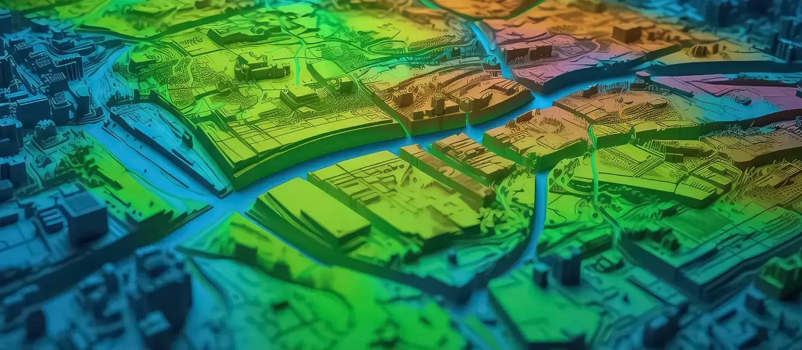
A municipal cadastre goes out of date fast: people build, subdivide and occupy land without the map recording it. We fly the city with drones or airborne LiDAR, compare the orthophoto with the current cadastral database and deliver a geospatial database your cadastre office can keep updating.
Beyond cadastre, we survey the ground for public investment design packages, check quantities and the As-Built during construction, and produce hazard maps to set prevention priorities. After a debris flow or a flood, we measure the affected area for the damage assessment.
Experience and results
- 5M+
- hectares surveyed
- 1200+
- projects delivered
- 200+
- clients
Where we work with the public sector
Cadastre and land-use planning
Parcel surveys, base mapping and the agency’s geospatial database.
Public works and infrastructure
Surveys for design packages, construction control and quantity checks.
Land title regularization
Boundary delineation, reconciliation of official records and land regularization.
Disaster risk management
Hazard and risk mapping, and post-disaster damage assessment.
Utility networks and public services
Mobile mapping and georeferenced inventory of networks and street furniture.
Urban areas and growth
Monitoring of informal settlement, urban growth and zoning.
Four business lines, from planning to monitoring
Plan, design, build, operate and monitor. The same four lines in every sector, with the activities and deliverables that sector needs.
Levantamiento, Cartografía y Modelado
Survey, Mapping & Modeling
“Base mapping and urban and rural cadastre, parcel by parcel”
- Airborne, terrestrial, mobile and drone LiDAR over cities, roads and rural areas
- Surveying, geodesy, GNSS networks and precise leveling
- Digital photogrammetry, orthophotos and digital terrain (DTM) and surface (DSM) models
- Urban and rural cadastre, land title regularization and property management
- Digital mapping, thematic maps and corridor modeling
- Mobile mapping and digital road inventory
- 3D modeling, digital twins and As-Built BIM models of public infrastructure
- Surveys for the design packages of public investment projects
- Boundary delineation, district limits and zoning
Deliverables
Classified point cloud · DTM/DSM · High-resolution orthophoto · Cadastral plans and maps · Digital road inventory · 3D models · As-Built BIM · Geospatial database (GDB)
Control y Aseguramiento de Calidad
Quality Control & Assurance
“We check quantities and surveys before each progress payment”
- Geodetic control and setting out of public works
- Geometric verification and dimensional control with surveying, LiDAR and 3D laser scanning
- Independent audit of topographic, LiDAR, photogrammetric and satellite surveys
- Geospatial QA/QC to international standards and the contract terms of reference
- Validation of geospatial data for design packages and progress payments
- As-Built control and quantity checks during construction
- Reconciliation of cadastral and property records across official sources
Deliverables
Geodetic control report · Geometric verification record · As-Built report · QA/QC report (ISO 19157 / ASPRS) · Setting-out drawings · Independent audit report
Monitoreo del Territorio y Gestión del Riesgo de Desastres
Territory Monitoring & Disaster Risk Management
“Hazard maps before the event, damage assessment after it”
- Multitemporal monitoring with LiDAR, drones, GNSS and satellite imagery to detect change
- Hazard, vulnerability and risk mapping for land-use planning
- Monitoring of flood-prone areas, landslides and slopes in towns and villages
- Tracking of construction progress and the condition of public infrastructure
- Post-disaster damage assessment and geospatial support for the response
- Monitoring of informal settlement and urban expansion
- Integration of instrumentation, GIS and spatial analysis for risk prevention
Deliverables
Multitemporal change reports · Hazard, vulnerability and risk maps · Construction progress reports · Post-disaster damage assessment · Threshold-based technical alerts · Risk management reports
Soluciones Digitales e Inteligencia Artificial
Digital Solutions & Artificial Intelligence
“Cadastre, project portfolio and risk zones on your agency’s GIS platform”
- Digital twins of cities and public infrastructure, updated with each monitoring campaign
- Institutional GIS platforms and spatial data infrastructures (SDI)
- BIM + GIS integration to manage public assets and investment projects
- Geospatial dashboards to track the project portfolio and its indicators
- 3D virtual tours for inspection, planning and public accountability
- Predictive analytics and AI to prioritize investment and anticipate risks
Deliverables
Urban digital twin · Institutional GIS / SDI platform · Geospatial dashboard · Predictive models and automated reports · 3D virtual tours
Who we work for
- Regional governments
- Municipalities
- Ministries and programs
- Implementing agencies
- Cadastre offices
- Consulting and engineering firms
- Audit and oversight bodies
- Multilateral development banks
Brochure
Download the sector brochure
Leave us your details and download the sector brochure, with our lines of work, activities and deliverables.