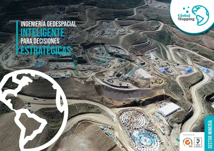
Mining Sector
Over 26 years working inside mining operations
We survey open pits, waste dumps, tailings dams and plants, from exploration to mine closure. Since 2005 we have kept permanent survey crews on site at mines.
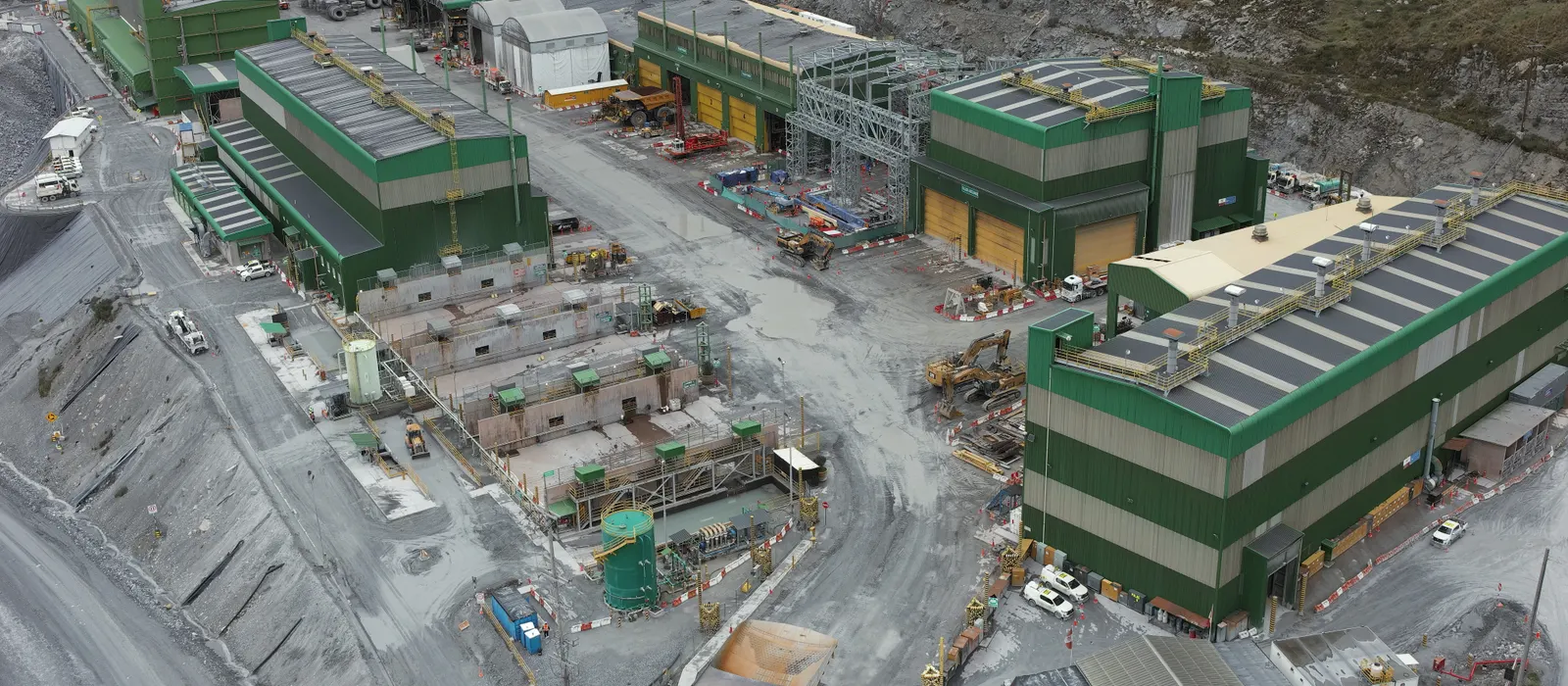
We know how a mine runs: site access permits, shift rosters, work fronts that never stop and heavy equipment that wipes out the previous day’s marks. We work to that pace, measuring the pit and its slopes, the concentrator plant, the tailings dams, the waste dumps and the infrastructure that connects them.
The goal is for geotechnical, mine planning, operations and environmental teams to work from the same data, measured in the same reference frame, from exploration to closure.
Experience and results
- 5M+
- hectares surveyed
- 1200+
- projects delivered
- 200+
- clients
Where we work in mining
Mine operations: pit and slopes
Survey and control of the pit, benches and slopes for the whole life of the operation.
Concentrator plant
3D laser scanning, As-Built models and dimensional control of structures and equipment.
Tailings dams
Geotechnical instrumentation, bathymetry and deformation monitoring of the facility.
Waste dumps
Volume calculations, progress tracking and stability monitoring.
Mine infrastructure
Access roads, platforms, camps and civil works, with a geospatial inventory.
Electrical infrastructure
Power lines, substations and on-site networks, surveyed and modeled in 3D.
Port terminal
Topographic and hydrographic surveys and As-Built control of the shiploading infrastructure.
Four business lines, from planning to monitoring
Plan, design, build, operate and monitor. The same four lines in every sector, with the activities and deliverables that sector needs.
Levantamiento, Cartografía y Modelado
Survey, Mapping & Modeling
“We measure the mine as it stands today, from the pit to the tailings dam”
- Airborne, terrestrial, mobile and drone LiDAR
- Surveying, geodesy, GNSS networks and precise leveling
- Digital photogrammetry, orthophotos and digital terrain (DTM) and surface (DSM) models
- Mobile mapping
- Hydrographic and bathymetric surveys
- Digital mapping and corridor modeling
- 3D modeling, digital twins and As-Built BIM models
- Geospatial inventory of mine infrastructure
- Cadastre, land management and land title regularization
Deliverables
Classified point cloud · DTM/DSM · High-resolution orthophoto · Topographic plans and maps · 3D models · As-Built BIM · Infrastructure inventory
Control y Aseguramiento de Calidad
Quality Control & Assurance
“We check that what gets built at the mine matches the design”
- Geodetic control and setting out at plants, tailings dams and mine infrastructure
- Geometric verification and dimensional control with surveying, LiDAR and 3D laser scanning
- Independent audits of topographic, LiDAR and photogrammetric surveys
- Geospatial QA/QC to international standards and project specifications
- Validation and integration of BIM models, GIS data and point clouds for engineering and construction
- As-Built control and asset verification during construction, operation and mine closure
- Validation and structured delivery of the project’s geospatial data
Deliverables
Geodetic control report · Geometric verification record · As-Built report · QA/QC report (ISO 19157 / ASPRS) · Setting-out drawings · Independent audit report
Monitoreo del Terreno y Gestión de Riesgos Geotécnicos
Ground & Geotechnical Monitoring
“We track slopes, tailings dams and waste dumps from one campaign to the next”
- Geotechnical instrumentation of slopes, tailings dams, waste dumps and excavations
- Geodetic and topographic monitoring of deformation, settlement and displacement
- Multitemporal monitoring with LiDAR, drones, GNSS and InSAR to catch changes early
- Slope stability and ground movement tracking, with alert thresholds
- Instrumentation, GIS and spatial analysis in a single view for each area of the mine
- Assessment of how critical infrastructure performs during operation and mine closure
Deliverables
Periodic deformation reports · Multitemporal change maps · Geotechnical performance reports · Threshold-based technical alerts · Risk management reports
Soluciones Digitales e Inteligencia Artificial
Digital Solutions & Artificial Intelligence
“Field data on screen for the planning, geotechnical and operations teams”
- Digital twins of the mine and its infrastructure, updated with each monitoring campaign
- BIM + GIS integration to manage assets and projects in one place
- Assessment of design and planning alternatives with geospatial analysis and artificial intelligence
- Geospatial dashboards to track the operation’s key indicators
- 3D virtual tours for inspection, planning and remote collaboration
- Predictive analysis of monitoring series to anticipate operational risks
Deliverables
Digital twin of the mine or infrastructure · Integrated BIM + GIS platform · Geospatial dashboard · Predictive models and automated reports · 3D virtual tours
Who we work for
- Investors
- Contract managers
- Project managers
- Mining engineers
- Geotechnical engineers
- GIS and geomatics specialists
- Geologists
- Surveyors
- Hydraulic engineers
- Electrical engineers
- Operations and maintenance teams
- Project developers
Brochure
Download the sector brochure
Leave us your details and download the sector brochure, with our lines of work, activities and deliverables.