Global Mapping Logo
Global Mapping Logo

Tutorials

Interactive geomatics courses

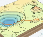
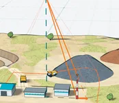
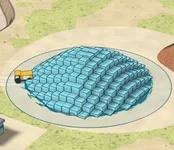
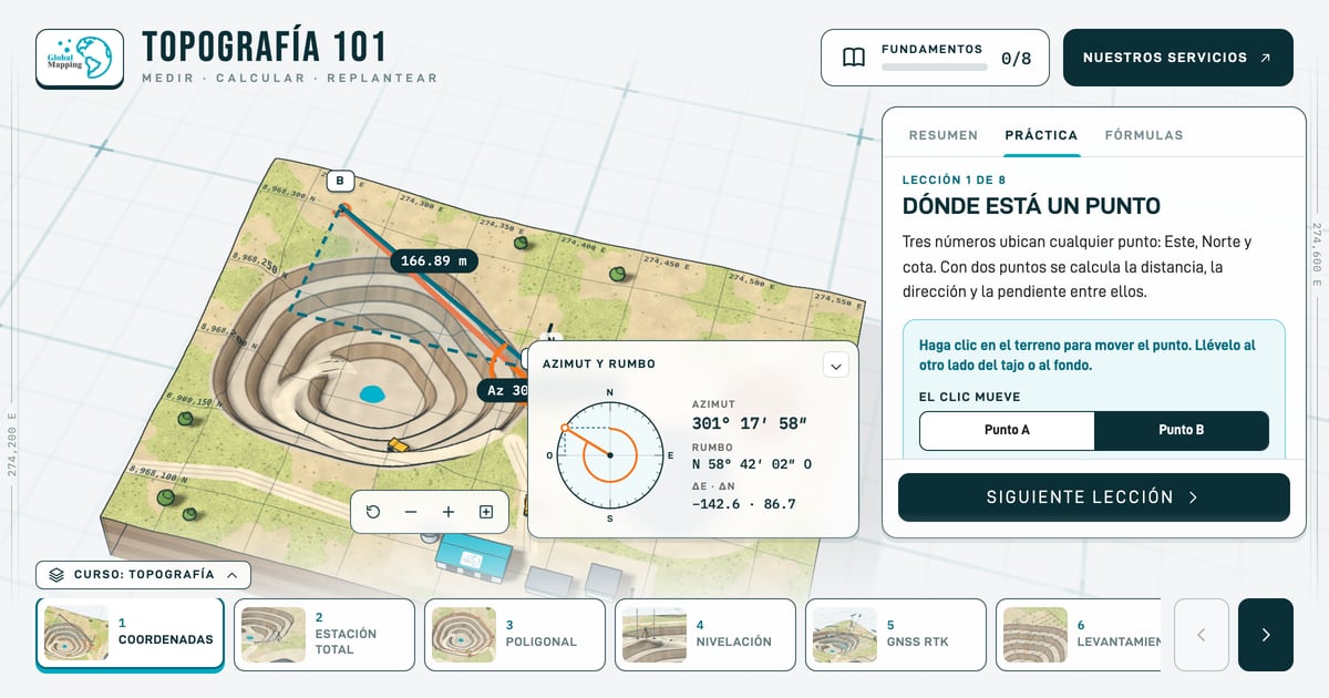
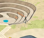
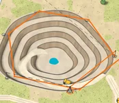
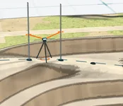
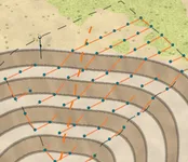
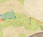
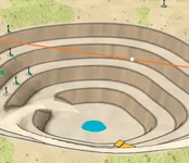
Free courses you practice on a 3D model of a mine: move a control and the scene and the figures change. They are for students and for people who work with survey data: those who order it, check it or design with it.

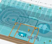
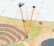
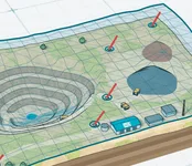
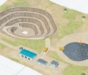
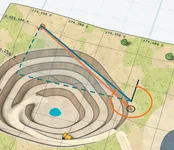
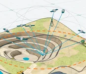
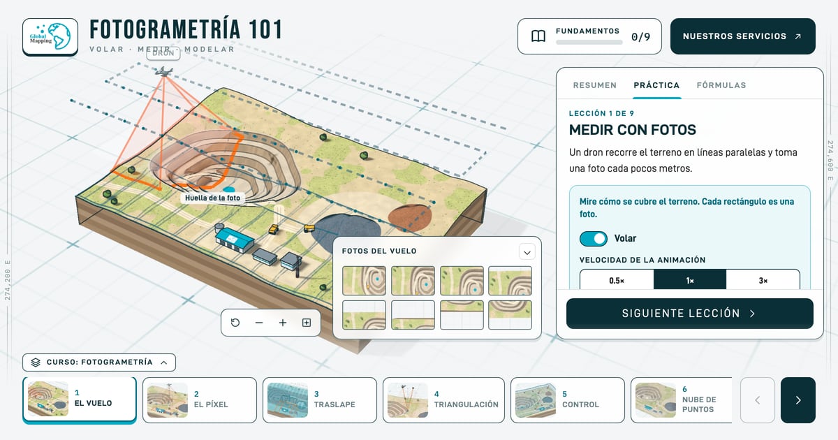
3D model of an open-pit mine with a drone flying a photogrammetry mission
Free Fundamentals 9 lessons

Photogrammetry 101

Fly · Measure · Model

A free interactive course on drone and airborne photogrammetry: flight plan, GSD, overlap, ground control, point cloud, orthophoto and volumes, on a 3D model of a mine.
Coming next

  • LiDAR

    Coming soon

  • GNSS and geodesy

    Coming soon

  • Bathymetry

    Coming soon

If your project needs an orthophoto, a survey or slope monitoring, we measure it and deliver it. See our services