
Measuring the ground since 1999.
We are a Peruvian geomatics firm. We do surveying, photogrammetry, LiDAR, survey supervision on projects and engineering design, with our own equipment and staff, mostly for mining, energy and infrastructure.
Our mission
To provide a specialized and personalized service in digital mapping solutions, reaching high levels of accuracy through state-of-the-art technology and an Integrated Management System that guarantees high standards of quality, safety and environmental care, meeting our clients' needs responsibly and sustainably.
Our vision
To lead in digital mapping solutions and to be a national and international benchmark in geomatics, recognized for our technical excellence and our commitment to the sustainable development of the territory.
Technology
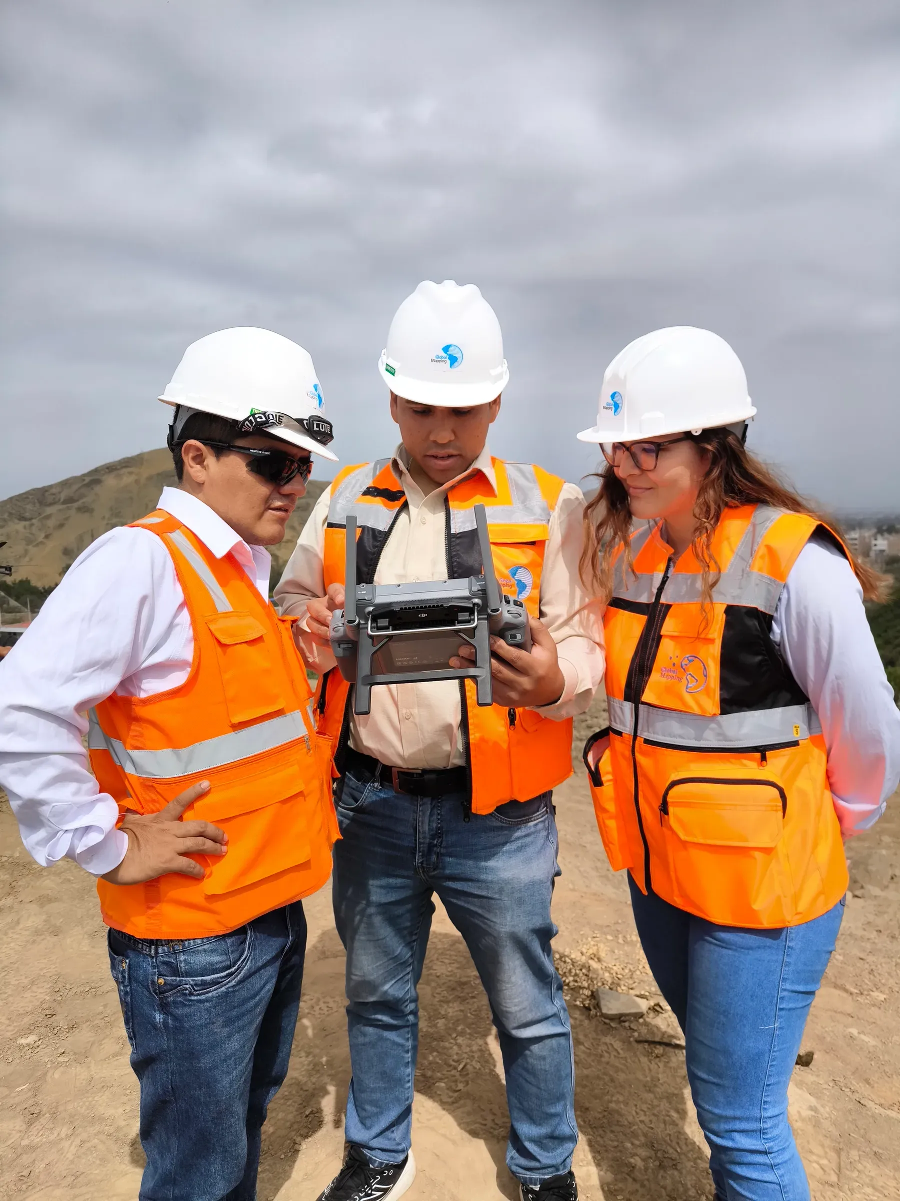
Our own airborne LiDAR sensors, RGB/NIR cameras up to 150 MP, RPAS drones, total stations and terrestrial scanners from Leica, Trimble, RIEGL, GeoSLAM and Wingtra.
By the numbers
- Clients
- +200
- Projects delivered
- +1,200
- Hectares surveyed
- +5.0M
Our team
The people who do the work.
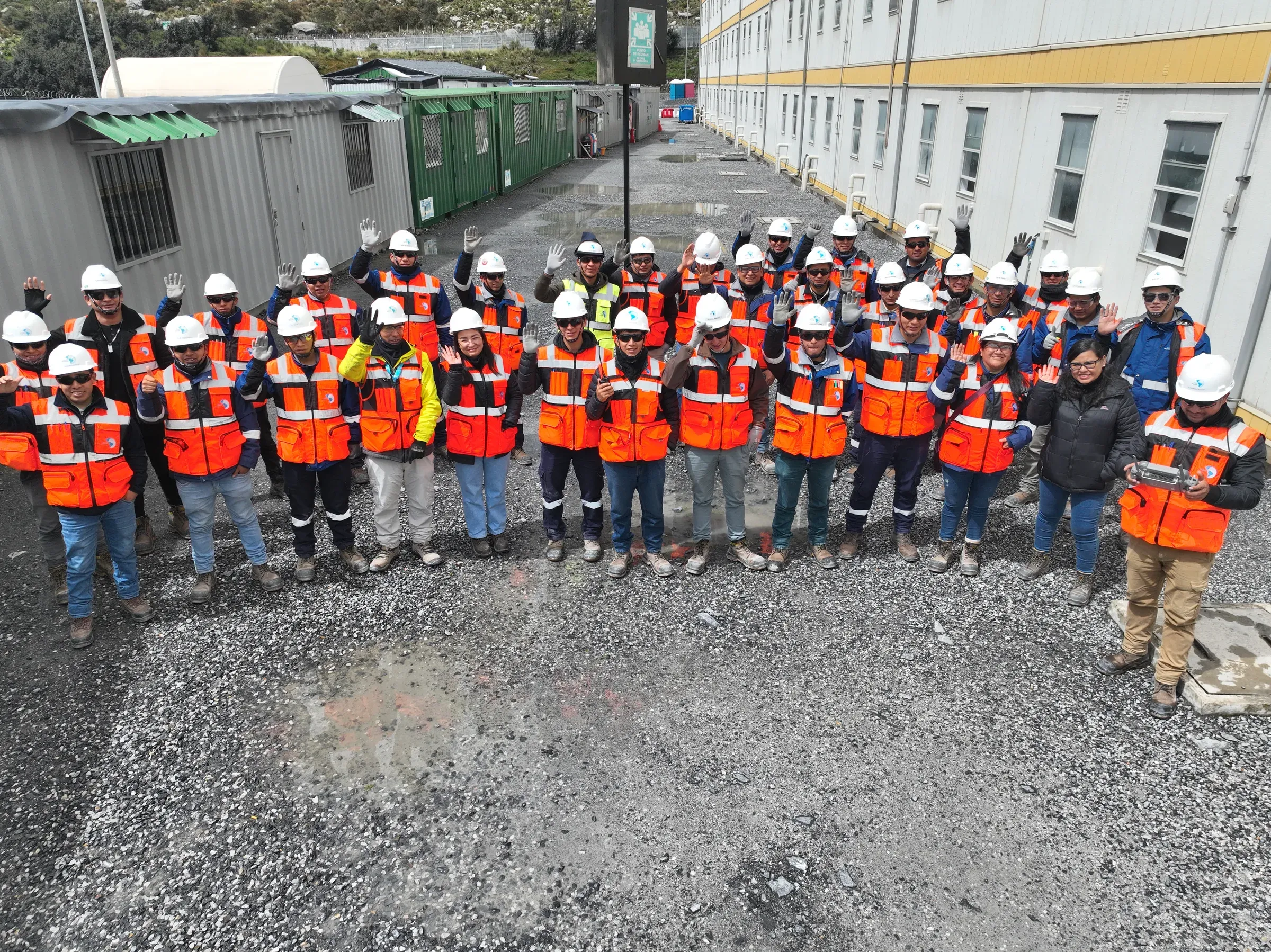
Engineers, pilots, technicians and specialists trained in Peru and abroad, working together from the flight to the office.
Experience and specialization
For more than 26 years we have worked through every stage of a mining project: exploration, engineering, construction, commissioning, maintenance and expansion. We bring that experience to energy, infrastructure and civil works too, in Peru and abroad.
In the field, the crew's safety comes first. We identify the risks before we go out, meet each operation's requirements and disturb the ground no more than the work needs.
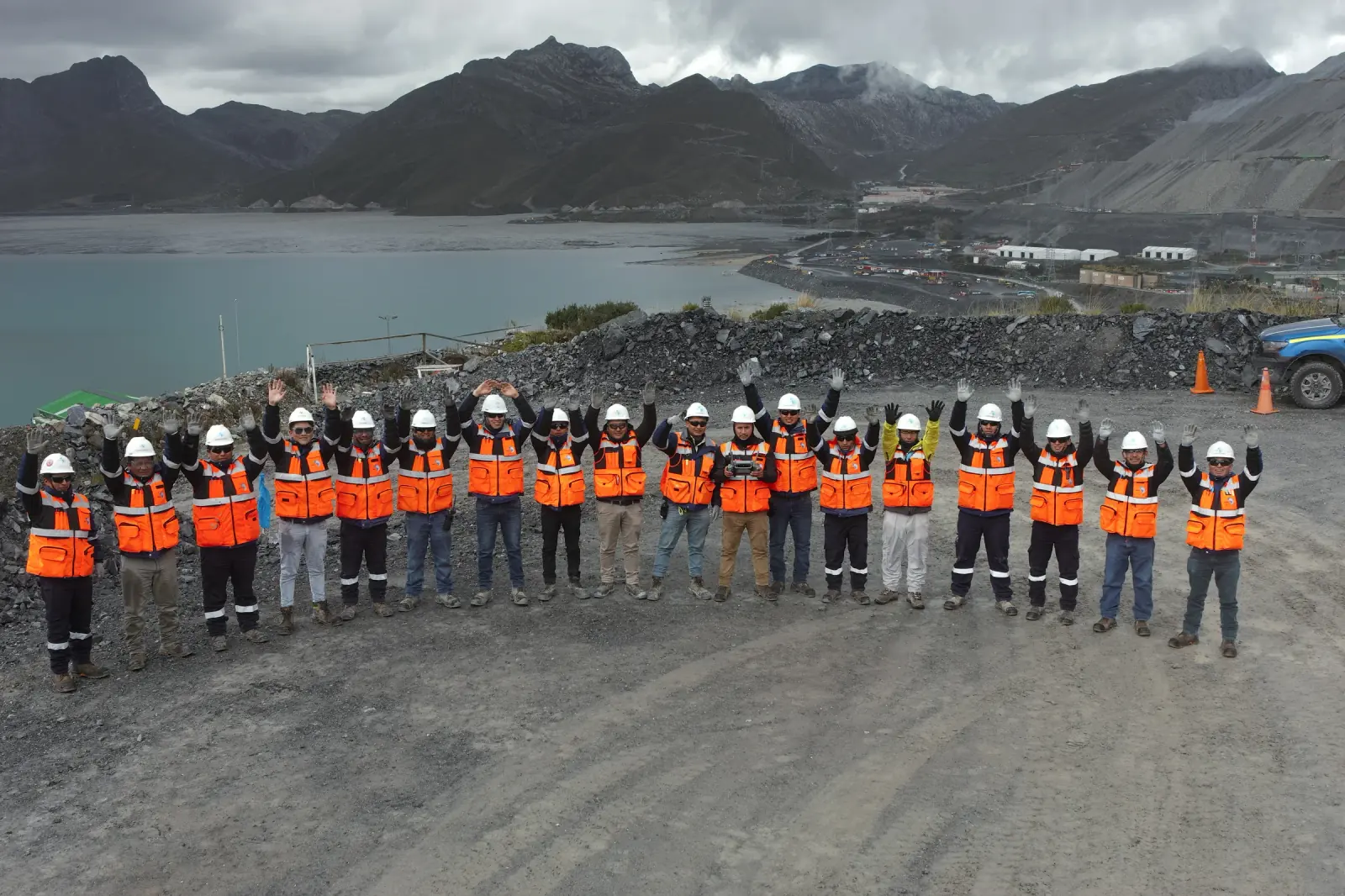
Our professionals
Geographic engineers
Civil engineers
Cartographic engineers
Survey assistants
Pilots
Aeronautical technicians
Photogrammetrists
LiDAR specialists
Camera operators
Cartographic editors
Quality and certifications
Quality, Safety, Occupational Health and Environmental Policy.
ISO 9001:2015 certification
Management system scope: Geomatics Services: Surveying and LiDAR (Light Detection and Ranging)
We are a company dedicated to delivering digital mapping solutions, focused on meeting our clients' requirements and reaching levels of accuracy that earn their trust.
With long-term sustainability in mind, we prioritize the safety and health of our people and carry out our operations in a non-invasive and environmentally responsible way, committing to:
- Provide safe and healthy working conditions, encouraging the participation and consultation of our staff and their representatives, and build a culture of occupational risk prevention that avoids injury and ill health among our people.
- Identify and eliminate hazards as far as possible and reduce the risks our people are exposed to.
- Work with highly trained professionals and leading-edge technology to reduce personnel exposure and risk, as well as any environmental impacts that may arise.
- Comply with the applicable legal requirements, technical standards and Quality, Safety, Occupational Health and Environmental Care standards.
- Protect the environment by identifying, assessing and minimizing the environmental impacts of our operations, preventing pollution and harm to biodiversity and ecosystems in our work.
- Continuously improve our management system in order to optimize our environmental performance, strengthen worker safety and health prevention and increase the effectiveness of our processes.
GG-PO-01/V05/02.01.2026
Our values
Quality and accuracy
Delivering every project to the highest quality standards, in line with local and international technical standards.
Trust
Commitment, confidentiality and ethics in the delivery of projects, for the full satisfaction of our clients.
Technology
Innovation in every process of our services for the optimal delivery of projects.
Sustainability
We build environmentally responsible practices and the wellbeing of our team into every project, contributing to the sustainable development of the territories and communities where we operate.
Equipment and infrastructure
Our own equipment and the people who operate it.
Qualified surveyors, a technical office accredited by Autodesk, and Leica, Trimble, RIEGL, GeoSLAM and Wingtra equipment for measuring, flying and scanning.
Equipment and technology
Measurement equipment
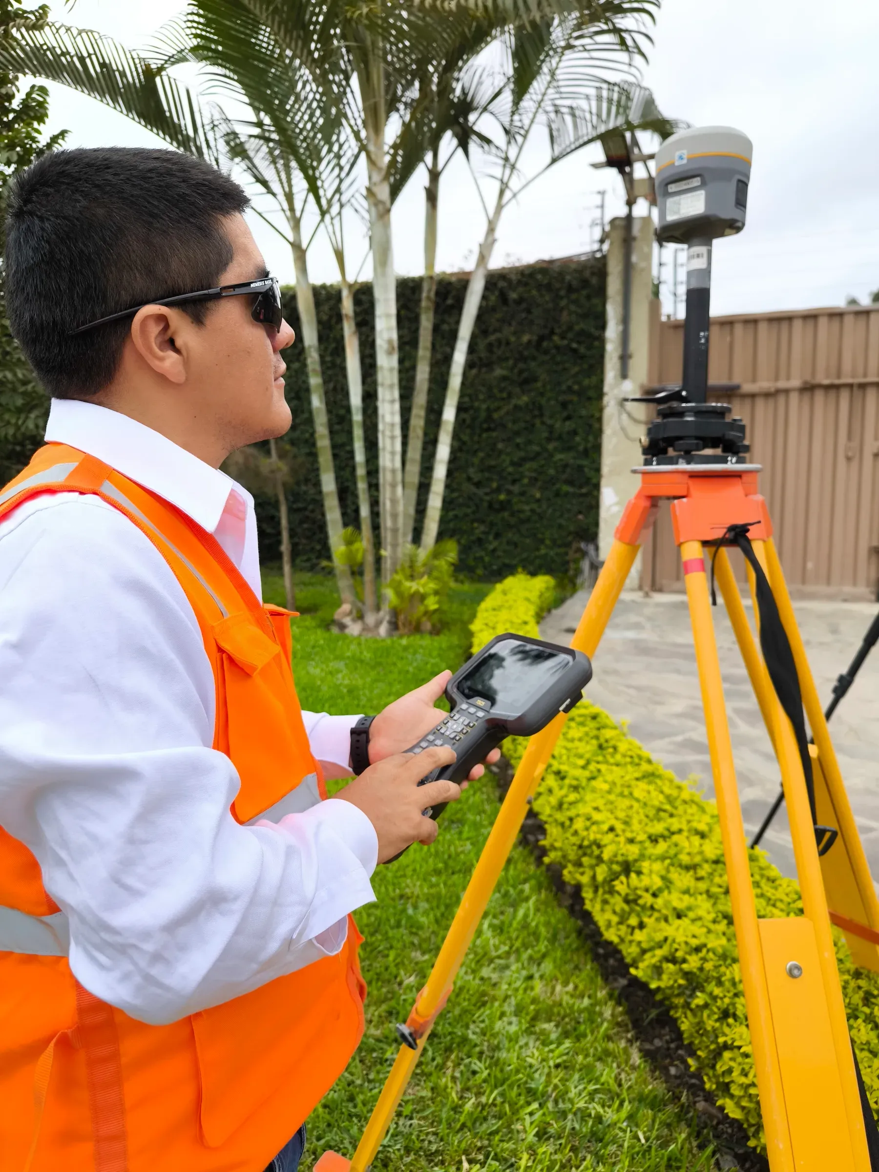
Leica, Trimble, RIEGL and GeoSLAM total stations, GNSS receivers and laser scanners, calibrated to meet each project's tolerances.
Airborne platforms
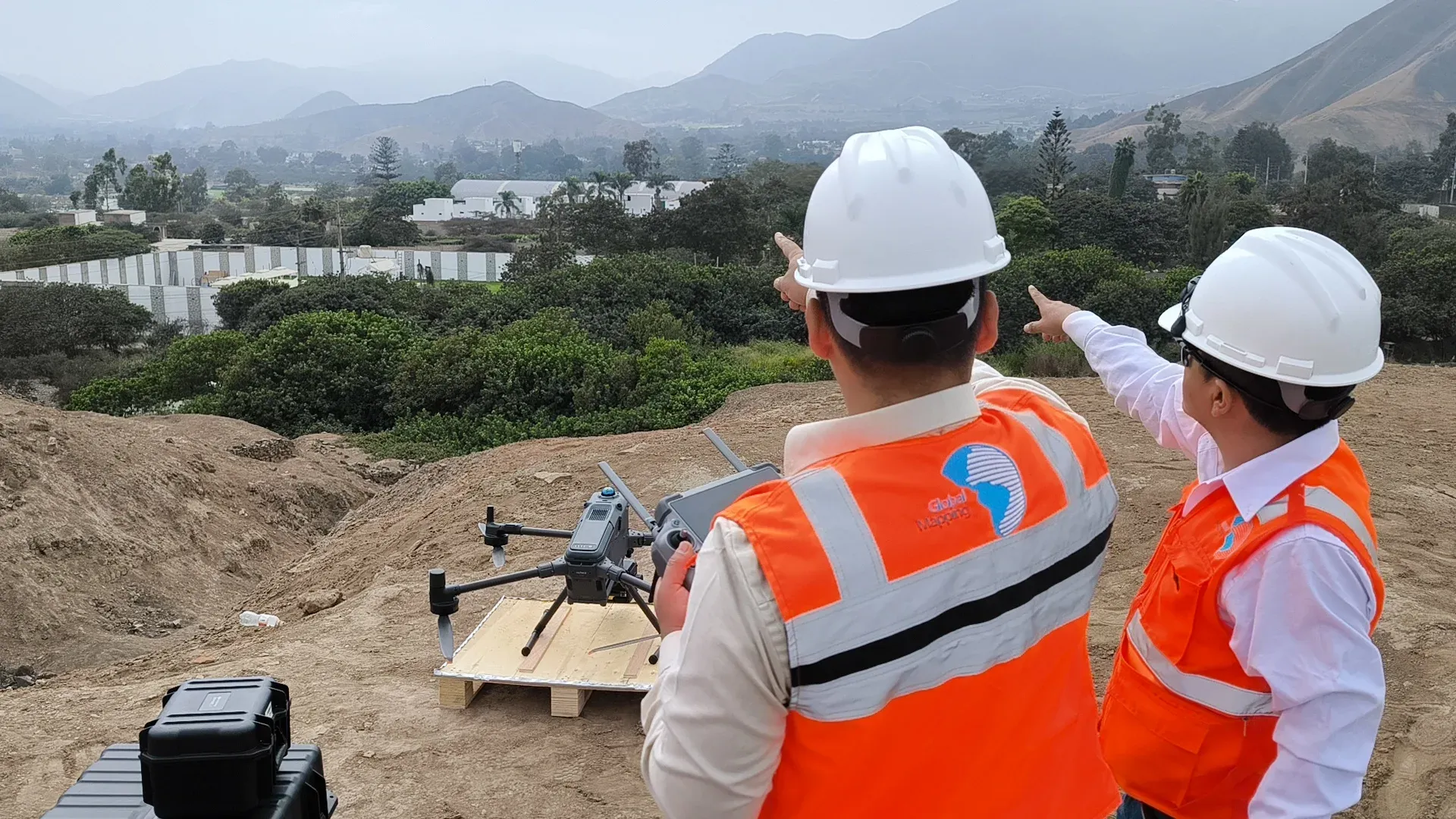
Airborne LiDAR sensors, Wingtra drones and RGB/NIR metric cameras. We fly our own campaigns as an air operator certified by Peru's DGAC.
Technical office
Accredited by Autodesk, with qualified surveyors and photogrammetry, LiDAR and mapping specialists who process what is measured in the field.
Experience
200+ clients in mining, energy and civil works since 1999.
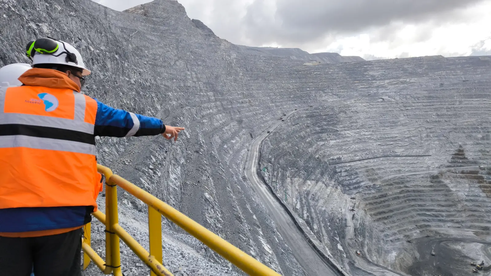
We have done tunnel control, earthworks, geodetic networks and 3D as-built surveys on large mining, energy and civil works projects.
Over 26 years of experience
Projects in Peru and abroad