Service
Photogrammetry
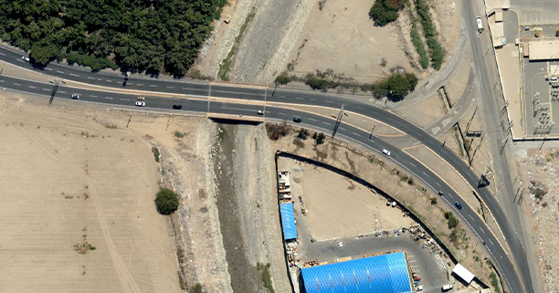
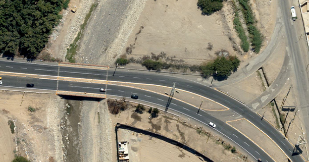
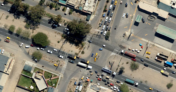
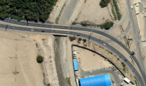
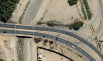
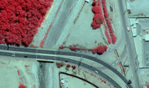
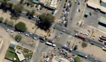
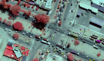
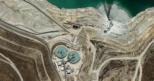
The restitution of the images and their orthorectification allow the generation of 3D vector information and realistic modeling of the surface, which can be integrated into various infrastructure work environments, cadastre, CAD, GIS, simulations
and virtual flights, for terrain recognition. We have the best photogrammetric processing equipment and software capable of generating a true “True Orthophoto”, without verticality and geometry errors.
Own equipment: Worldwide recognized brands

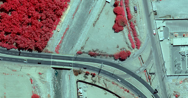
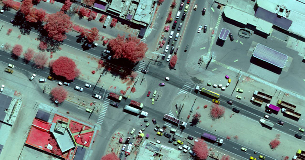
RGB and NIR multispectral Digital Metric Cameras.

IMU and GPS Navigation and Inertial Measurement Systems for Aerotriangulation and photogrammetric adjustment accurate with a minimum of control points required.

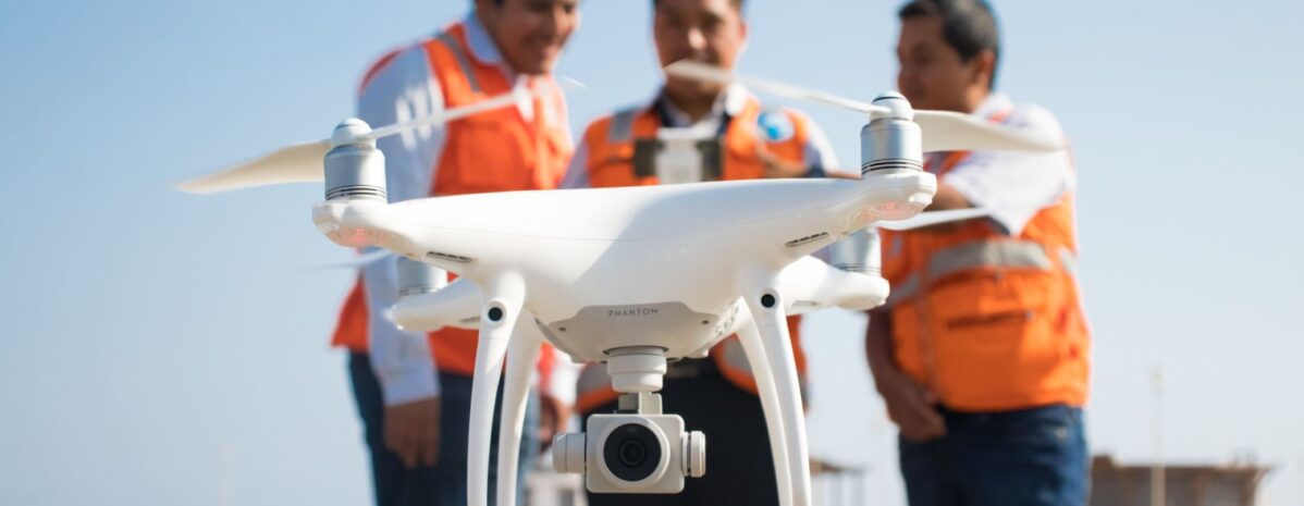
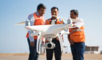
RPAS (Drone) systems, high resolution images are obtained in smaller dimensional areas.