Service
LiDAR
We carry out LIDAR flights, with a high density of terrain points from 1 to 100 per m2 and even in mountainous terrain, with absolute precision of 5 cm vertically and 5 cm horizontally, with a minimum of field control and for scales less than 2000 without field control, with permanent link to the IGN network and satellite processing. In addition, we incorporate high spatial resolution color and infrared photography from 3cm and 4 integrated bands. On the other hand, it has a stabilized rotation system for better alignment of photographs and data; and with a pulse repetition frequency greater than 2,000kHz.
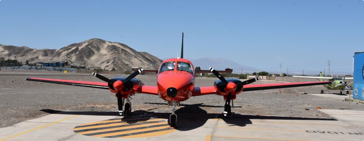
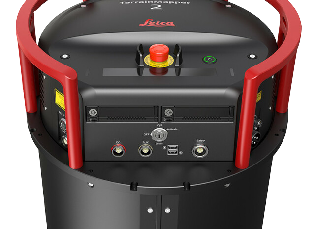
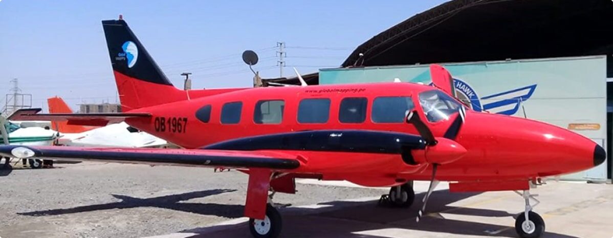
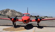
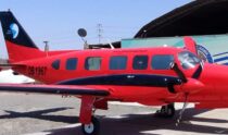
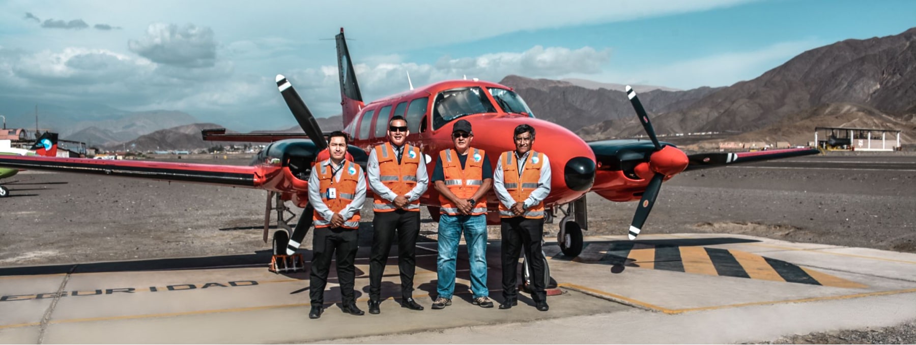
Own equipment  : Terrain Mapper SN: 91543
Own Aircraft        : Piper Chieftain OB 1967 / Piper Azteca OB 2039

Mining and civil surface modeling.

Inspection of overhead transmission lines.

Determination of volume of masses.

Urban and rural cadastre.

Temporal analysis of surfaces and change detection.

Aircraft with autonomy greater than 6 hours that ensure missions in less time.

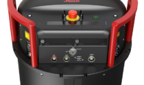
Latest generation high-end LIDAR sensors.

Digital metric cameras multispectral RGB and NIR.