Service
Project Topographic Supervision
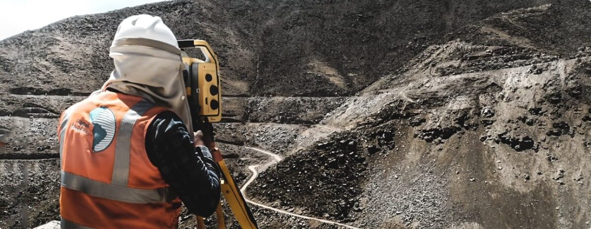
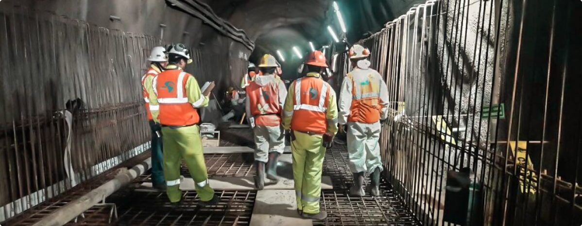
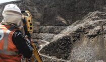
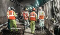
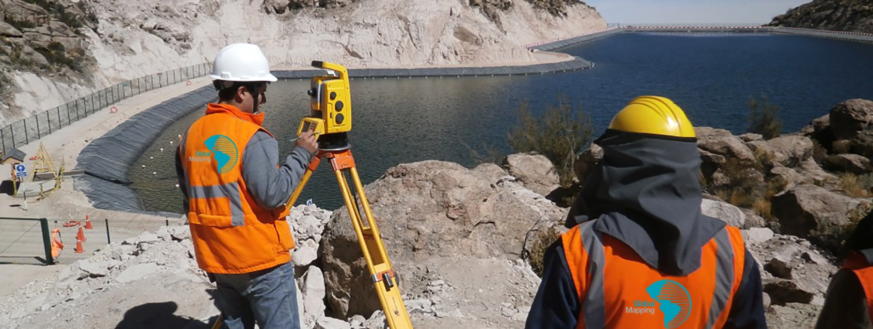
For the Supervision of construction projects we have multidisciplinary Surveying Crews, which are made up of High Precision measuring equipment and a group of qualified Surveying Professionals with extensive experience in the assurance and quality control of works of Earth movements, Civil and concrete works, Mechanical assembly, Tunnels, Laying of high voltage lines and Others.
Own Equipment:
- Leica, Trimble 1” and 2” total station.
- Trimble R10 dual-frequency differential GPS.
- RIEGL VZ-400 scanner.
- GeoSlam Mobile Scanner.
- USV Apache 4
- Wingtra One Drone
Our equipment is from the most recognized brands worldwide, such as Leica and Trimble.
Technical office:
Our technical topography office has professionals graduates (3
years of technical academic training) and accredited by Autodesk.
Regards of:
- Review valuations generated by the builder.
metered. - Preparation of topographical plans for weekly and biweekly progress.
- Preparation of designs for the specialty of: earthworks, civil, structural
and mechanical works. - Carry out three-dimensional modeling.
- Generation of Orthophotos.
- Editing and production of virtual flights.
Constant Professional Technical Advice and Accompaniment in:
- Guidance on the appropriate use of technology and topographic survey methods to ensure the quality and precision of the information.
- Review of measurements and valuations, generated by third parties in charge of the construction of the project.
- Conceptual and detailed engineering redesigns according to the Red Line, RFIs and change management approved by the project.
- Preparation and audit of polygonals and high precision leveling.
- Audit of the calibration and collimation of the contractor's topographic equipment.
- Carry out three-dimensional modeling.
- Generation of Orthophotos.
- Editing and production of virtual flights.
- Others.
Main activities:

Tunnel topographic control: axis, cross sections, advance cubing, convergence measurement, precision traverse.

Topographic control of massive earth movement: Control of platform progress, Delimitation of types of material, Monitoring of DMEs, Monitoring of Quarries.

Civil and concrete works: Topographic control of foundations, foundations and anchor bolts.

Structural works: Alignment verification, Verticality, Squares, High voltage towers.

As Built 3D – 360 surveys, with laser scanner, for BIM modeling.

Construction of geodesic and polygonal networks High precision for geometric control of Projects.

Mechanical work: assembly ball mill mechanic, SAG mills, crusher primary, conveyor belts, pulleys, pumps, thickeners, flotation cells, tanks.