Service
Topography and Geodesy
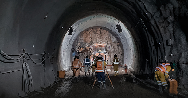
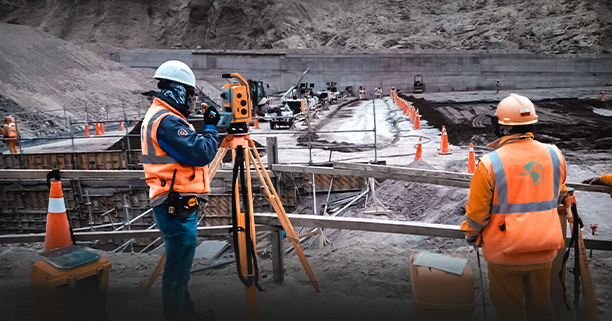
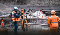
This service carries out large-scale Topographic Surveys, where the topographic plan of surfaces and/or structures is obtained with high planimetric, altimetric and volumetric precision, for the development of basic engineering, detailed engineering, geological and geophysical studies, geometric design of roads. , tunnels, dams, DMEs.
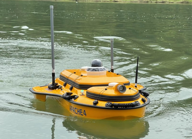
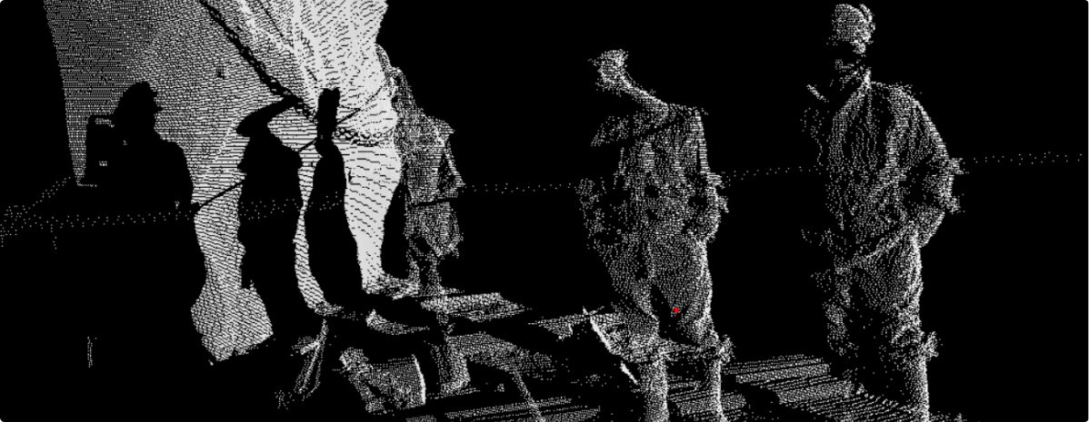
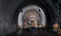
Likewise, they carry out dam monitoring activities, bathymetric surveying, measurement of drilling collars, 3D scanning of shafts, tunnel chimneys and establishment of geodetic networks by differential method.
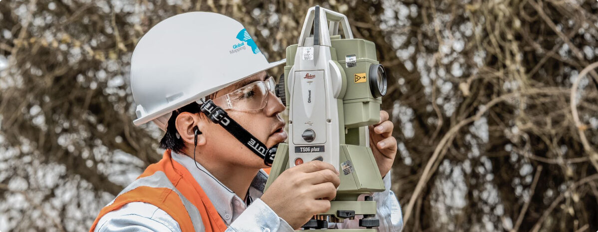
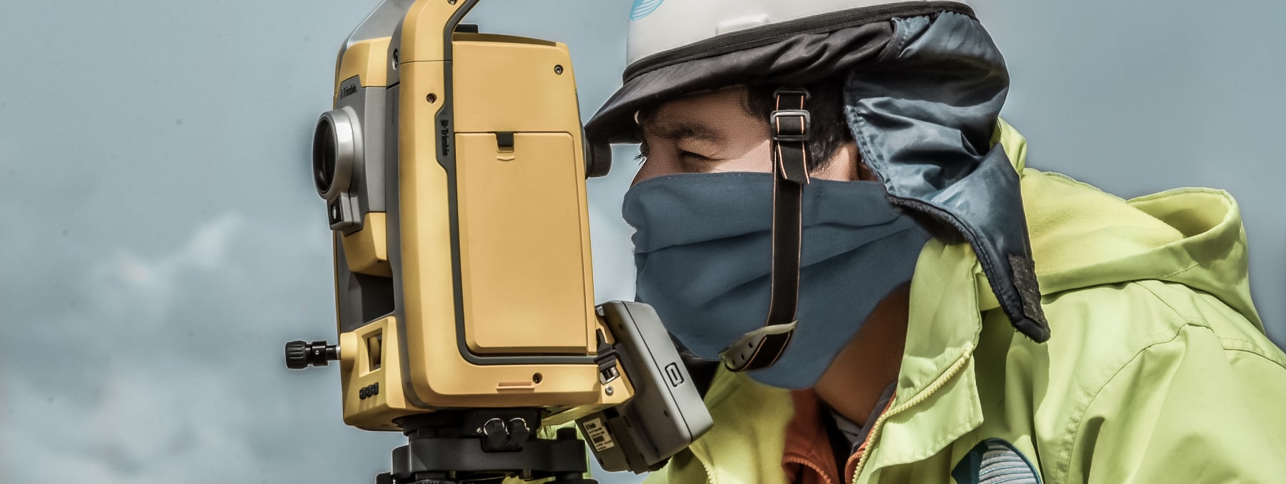
Own equipment: World-renowned brands (Leica y Trimble)
Through our technology and specialized personnel we obtain products with high precision, image quality, speed and security, to meet the requirements and satisfaction of our customers.
Applications:
- Surveys of natural lands.
- Development of basic engineering, conceptual engineering, and detailed engineering.
- Lifting of drilling collars.
- Geodetic networks.
- Rethinking.
- Monitoring of Dams and Dams
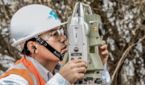
We represent the terrain in 3 dimensions, through measurements with high precision and speed equipment such as:

1 ”total stations.

Long-range Terrestrial Laser Scanner.

Differential GPS and RTK system.

Latest generation software.

RPAS (Drone) with personnel certified by the MTC.

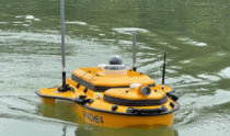
EUSV Apache 4 in hydrographic survey projects.